



From Landsat Imagery to Water Use
Detailed Description
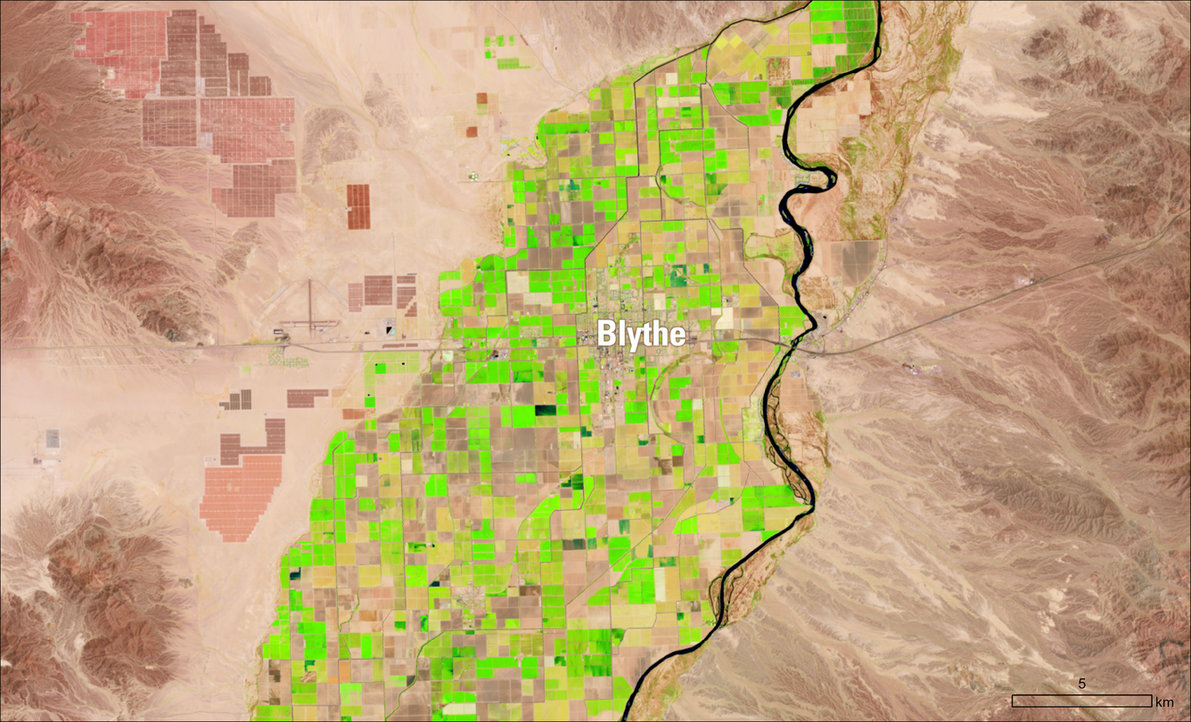
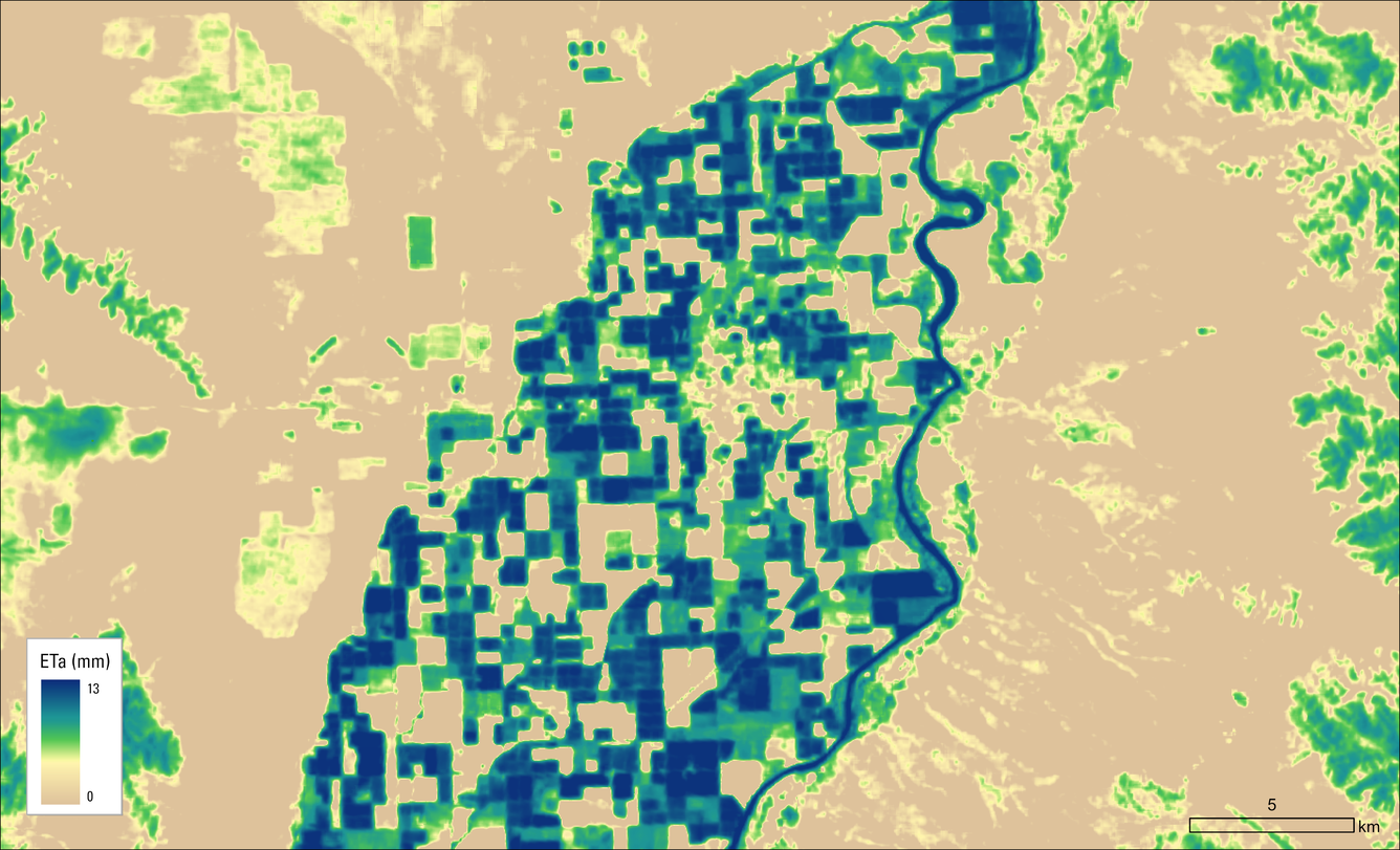
Move the slider to compare a Landsat image of agricultural fields near Blythe, California, with evapotranspiration estimates from July 23, 2026. In the Landsat image, actively growing vegetation appears bright green. In the evapotranspiration map, dark blue areas indicate the greatest transfer of water from the land to the atmosphere through evaporation and plant transpiration. The matching field patterns show where irrigated crops were actively using water along the Colorado River.
Sources/Usage
Public Domain.