
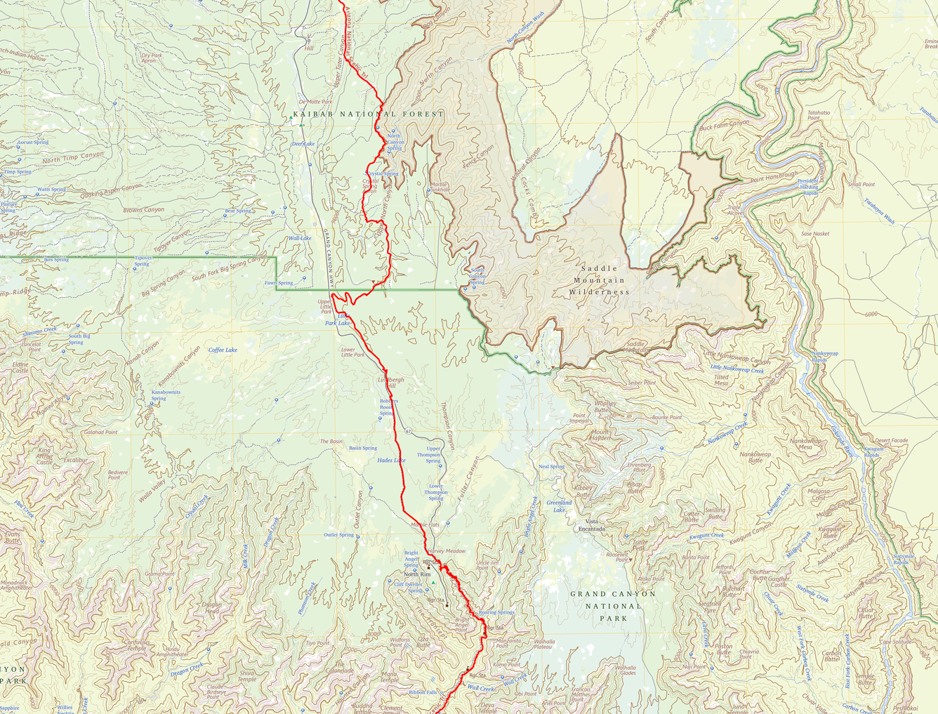
100K Topo map showing Grand Canyon National Park to Kaibab National Forest.
Detailed Description
This is a close-up of a 1:100,000-scale topographic map (100K Topo) of the Arizona National Scenic Trail (AZ NST) from the Kaibab Plateau at top to the Grand Canyon North Rim at bottom. The AZ NST is highlighted in red. This map shows contour lines, hydrography, landform names, land cover, federal lands, roads, and structures.
Sources/Usage
Public Domain.