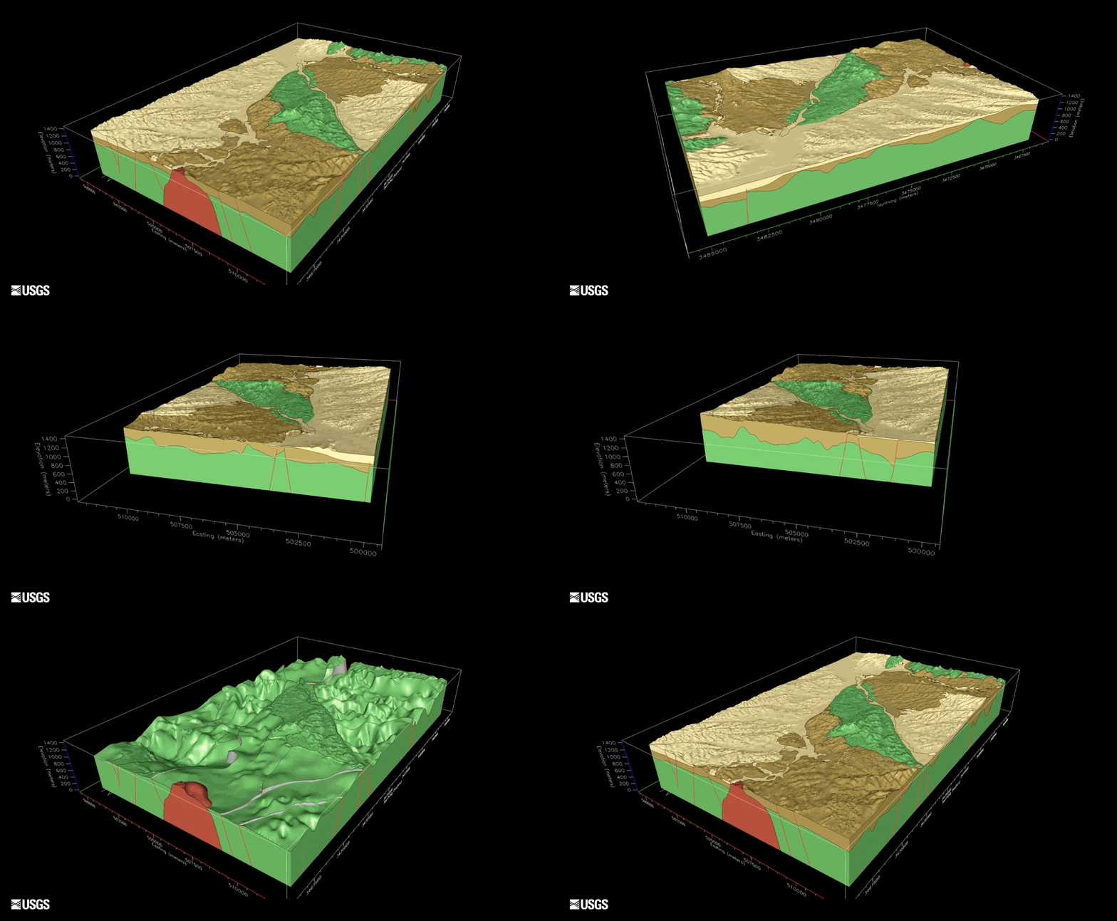
3D of the Upper Santa Cruz Basin

Detailed Description
USGS video of the 3D model looking at the upper Santa Cruz Basin in Arizona. The top layers (yellow and gold) are the shallow and deep aquifers. The bottom layer (green and red colors) is solid bedrock underneath. The red lines are faults, which play a significant role in controlling groundwater flow through the basin aquifers.

