
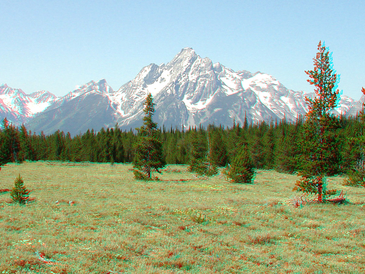
3D view of snow covered Mount Moran

Detailed Description
This 3D view is of Mount Moran, elevation 12,588 feet above sea level (derived from the National Elevation Dataset), in the central Teton Range. The very top flat part of the mountain is a caprock of Cambrian Flathead Sandstone that unconformably overlies the Precambrian crystalline rocks that make up the core of the Teton Range. The east side of the range is bounded by the Teton fault. The fault has vertically offset the Flathead Sandstone by about 30,000 feet. On the east side of the fault, the Flathead Sandstone is buried deep beneath sedimentary cover deposited in the valley of Jackson Hole.
Sources/Usage
Public Domain.