
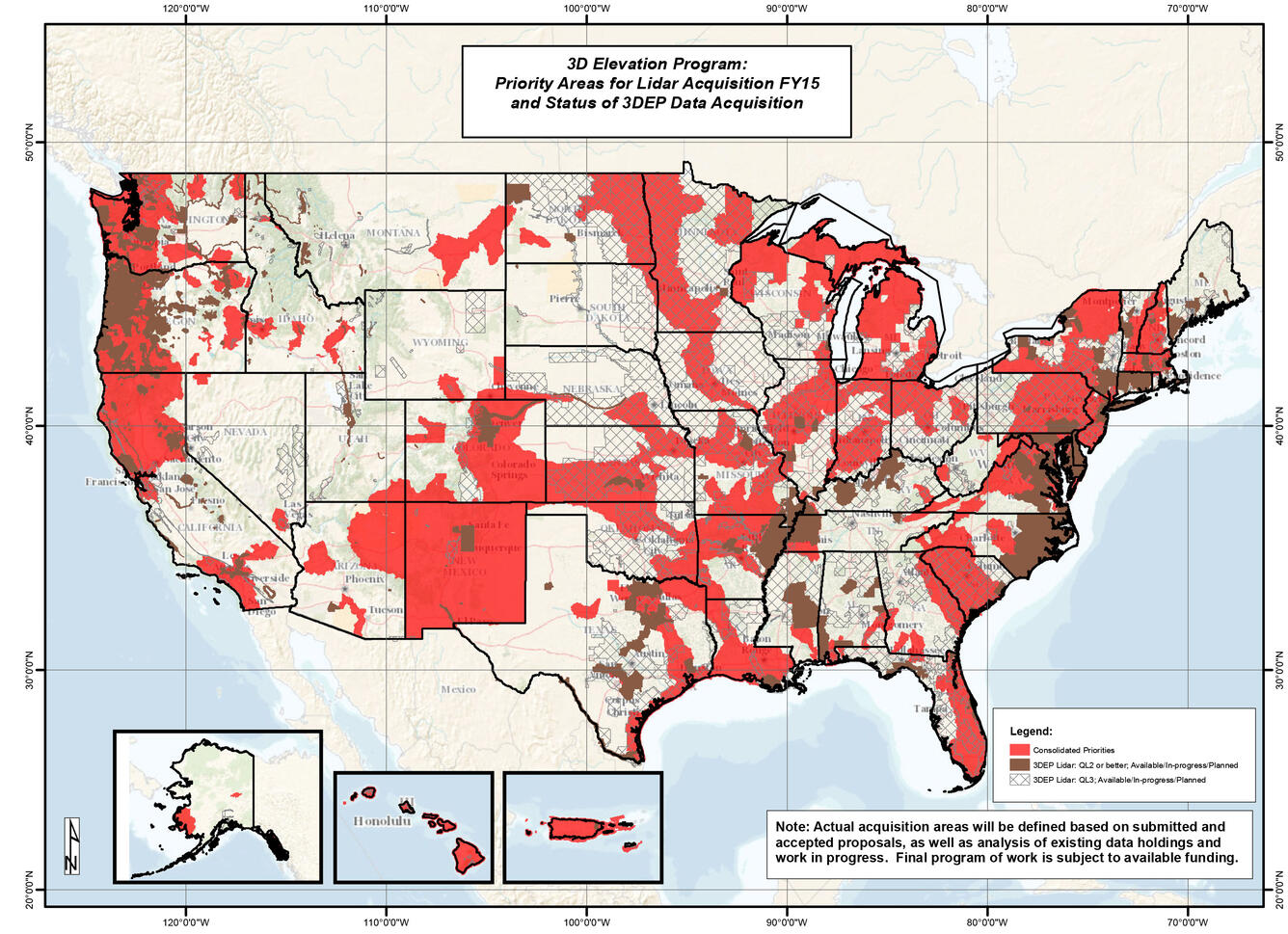
3DEP Priority Areas for Lidar Acquisition FY15 and Status of Data
Detailed Description
Map Title: 3D Elevation Program: Priority Areas for Lidar Acquisition FY15 and Status of 3DEP Data Acquisition
Note: Actual acquisition areas will be defined based on submitted and accepted proposals, as well as analysis of existing data holdings and work in progress. Final program of work is subject to available funding.
Legend Terms
Red color = Consolidated Priorities
Brown = 3DEP lidar, QL2 or better, Available/In-progress/Planned
Tile pattern = 3DEP lidar, QL3, Available/In-progress/Planned
Sources/Usage
Public Domain.
Broad Agency Announcements (BAAs)
The USGS issues a Broad Agency Announcement (BAA) that provides detailed information on how to partner with the USGS and other Federal agencies to acquire high-quality 3D data. Past BAA information may be found on the general BAA webpage.