
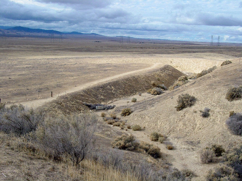
A photo of Wallace Creek
Detailed Description
This view of the Wallace Creek (offset stream) is of perhaps the most famous feature on the San Andreas Fault. As the stream continues to progressively erode into its channel, right-lateral motion along the San Andreas Fault has moved the downstream portion of the channel northward. Sediments cut by Wallace Creek were radiocarbon dated at about 3,700 years old, and the stream channel has been offset about 430 feet since then (Sieh and Wallace, 1987).
Earthquake fault investigations in the Carrizo Plain show that as many streams in the park area display evidence of right-lateral slip. Offset from the 1857 earthquake was in the range of 30 feet; two earlier earthquakes had slip displacements of about 40.6 feet (sometime between 1540 to 1630 A.D.) and 36 feet possibly between 1120 and 1300 A.D. (Sieh and Wallace, 1987). Offset along the fault shows a relative rate of motion in the in the Carrizo Plain (between A.D. 1210 and A.D. 1857) has averaged in the range of about 1.3 inches (34 mm) per year (Liu-Zeng and others, 2006).
Sources/Usage
A photo of Wallace Creek