
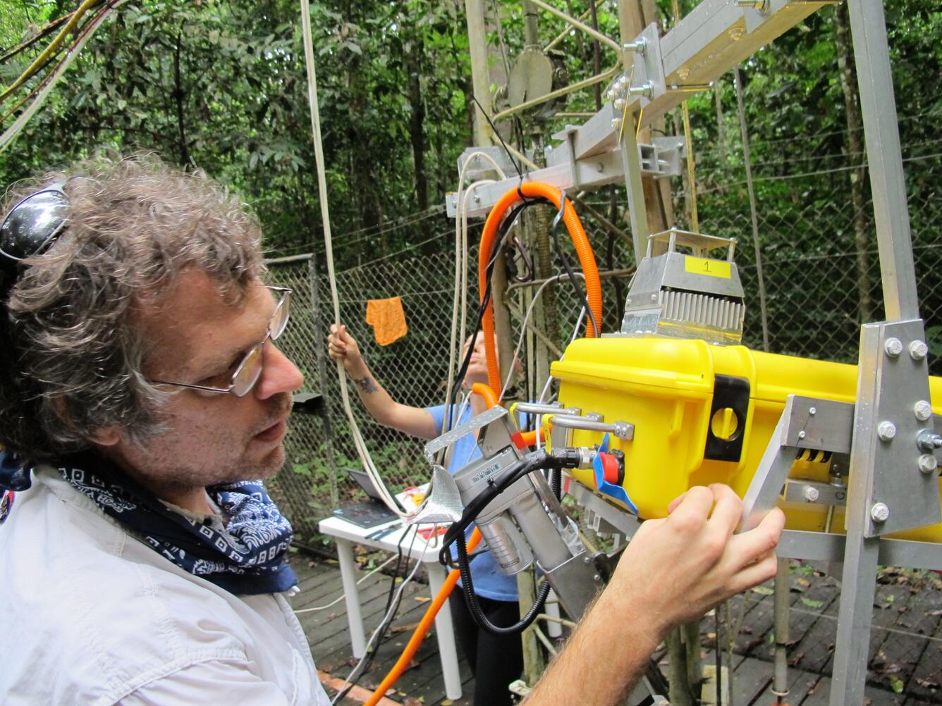
Adjusting Remote Sensing System before Tower Installation
Detailed Description
USGS collaborator Scott Saleska (University of Arizona) makes adjustments to a remote sensing system before installation near the top of a 213-foot (65-meter) tower at the Amazon forest study site near Santarém, Brazil. Data from the system are being used by Saleska, USGS Geographer Dennis Dye and their U.S., Brazilian and Australian collaborators to improve understanding of how photosynthesis in tropical forests responds to seasonal variations in climate.
Tapajós National Forest, near Santarém, Pará, Brazil
Sources/Usage
Public Domain.