
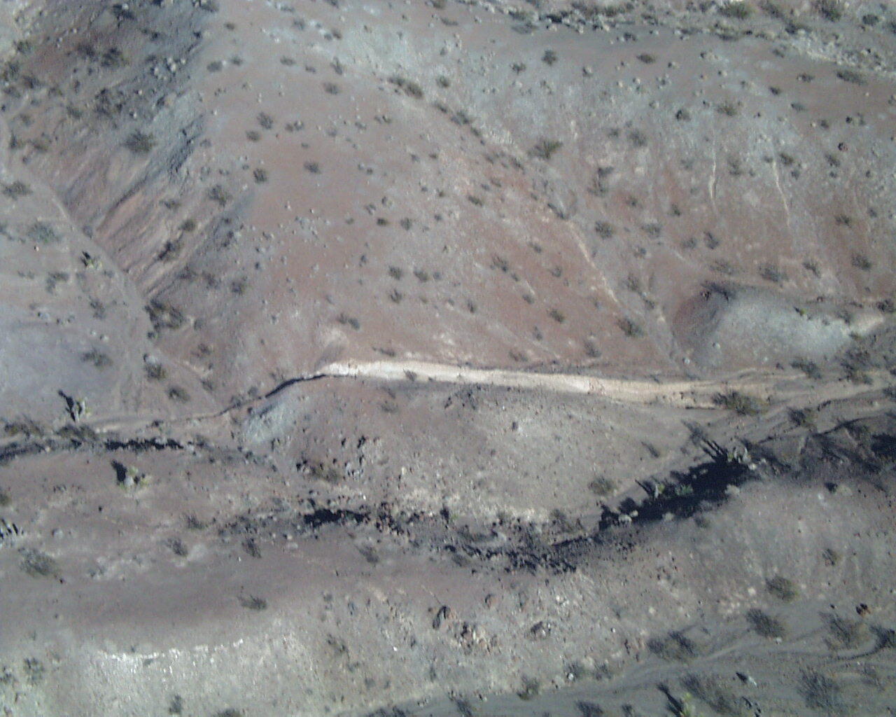
Aerial Photo of the Surface Rupture
Detailed Description
Southeast of maximum displacement site. Here we see 3-4 meters of right-lateral slip have offset a ridge and created a 'shutter' ridge blocking flow in the dry creek channel. The white vertical surface is the fault scarp.
Sources/Usage
Public Domain.