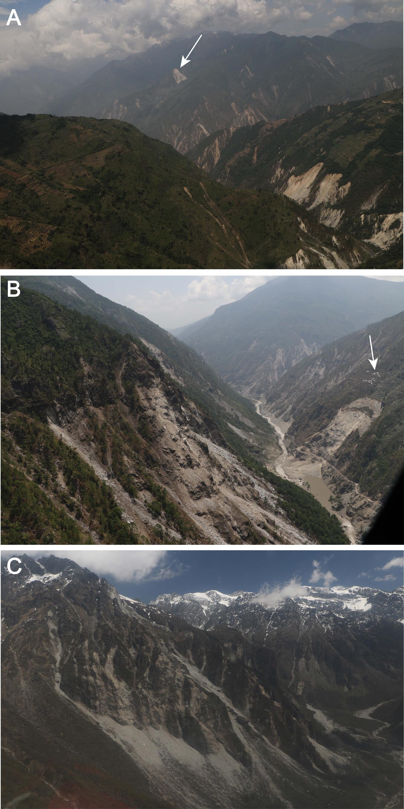
Aerial photographs showing landslides triggered by the April and May 2015 Gorkha earthquake sequence in central Nepal.

Detailed Description
Aerial photographs showing landslides triggered by the April and May 2015 Gorkha earthquake sequence in central Nepal. A, Widespread ridgetop landsliding in Gorkha district. The Kerauja rock slide (cover image of report) is wide scar on ridge visible in photograph background (arrow). B, Partially breached Gogane landslide dam in Rasuwa district of Nepal. Top of scarp below village (arrow) is approximately 400 m above river level. C, Rock falls in the Urkin Kangari Valley, Sindhupalchok district. Image shows approximately 1,200 m relief between top of foreground cliffs and valley floor.

