
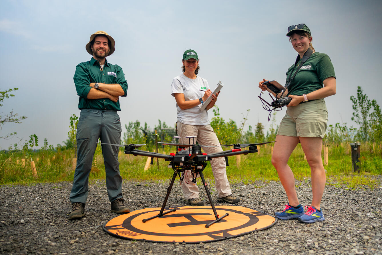
Amit Millo, Sandy Brosnahan, and Jennifer Cramer of the USGS Woods Hole Aerial Imaging and Mapping (AIM) group stand with their drone during sUAS data collection at the Darby Creek Superfund site in Darby Creek, PA
Detailed Description
From left to right, Amit Millo, Sandy Brosnahan, and Jennifer Cramer of the USGS Woods Hole Aerial Imaging and Mapping (AIM) group stand with their drone during sUAS data collection at the Darby Creek Superfund site in Darby Creek, PA. The team was gathering remotely sensed data to support a study funded by the EPA assessing environmental change in the restored area.
Summer 2025 Photo Contest Winner: David Fisher, People category
Sources/Usage
Public Domain.