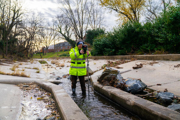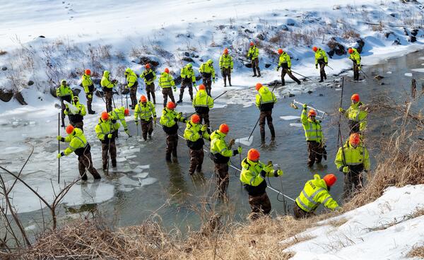
Northwest Branch Anacostia River Ice Measurement Composite
Northwest Branch Anacostia River Ice Measurement CompositeA photo composite of 31 images showing hydrologic technicians Nick Giro, Ashley Ryan, and Augustine Barquin breaking up an icy river and measuring streamflow in the Northwest Branch Anacostia River at Brentwood, MD (USGS-01651003).