
Animations (Annual NLCD and Landsat) of the 1992 Fountain Fire in California
Annual NLCD is processed and produced using AI techniques.
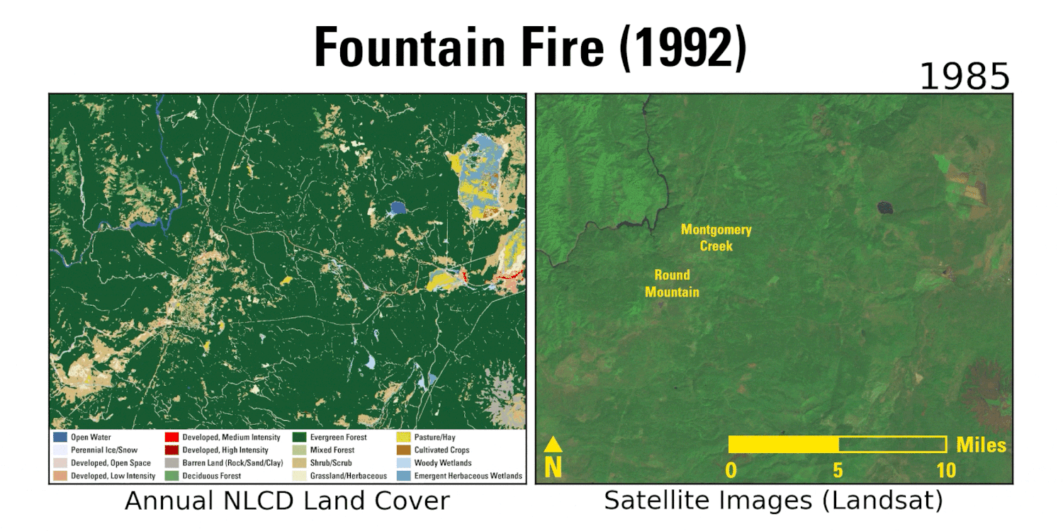
Detailed Description
This animation shows Annual NLCD land cover data on the left that was derived from Landsat imagery on the right. It illustrates the effects of the 1992 Fountain Fire in northern California and much of the forested area’s eventual recovery. The Fountain Fire burned about 64,000 acres, almost all of it privately owned. Nearly two-thirds of the land was owned by timber companies, which replanted trees after the fire. In the 2010s, the results of their reforestation efforts become clear as evergreen tree cover (dark green) reappears. To the upper right of the fire scar, note the area with fluctuating cropland, hay/pasture and wetlands. That’s a ranch with wild rice and hay where agricultural practices have evolved over time.
Sources/Usage
Public Domain.