
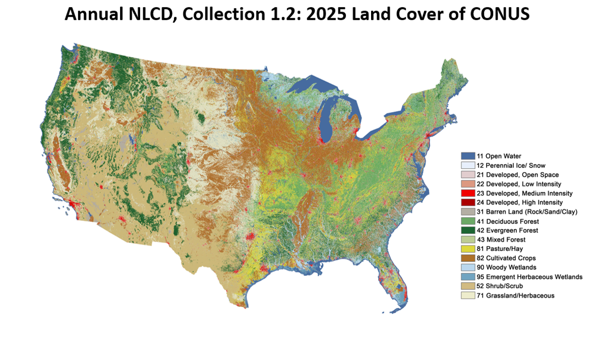
Annual National Land Cover Database (NLCD) Collection 1.2 map

Altered Content -
Annual NLCD data is produced using deep learning methods.
Detailed Description
Annual National Land Cover Database (NLCD) Collection 1.2 map of 2025 data, produced at USGS Earth Resources Observation and Science (EROS) Center based on Landsat satellite data.
Sources/Usage
Public Domain.
No copyright
Related
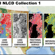
Annual NLCD Product Suite
Annual National Land Cover Database (NLCD) Collection 1.2 includes a suite of six raster land use and land cover science products for the conterminous United States. It covers the period between 1985 and 2025. The Science Product User Guide contains in-depth background and documentation about the Annual NLCD product suite.
Related
Annual NLCD Product Suite
Annual National Land Cover Database (NLCD) Collection 1.2 includes a suite of six raster land use and land cover science products for the conterminous United States. It covers the period between 1985 and 2025. The Science Product User Guide contains in-depth background and documentation about the Annual NLCD product suite.