
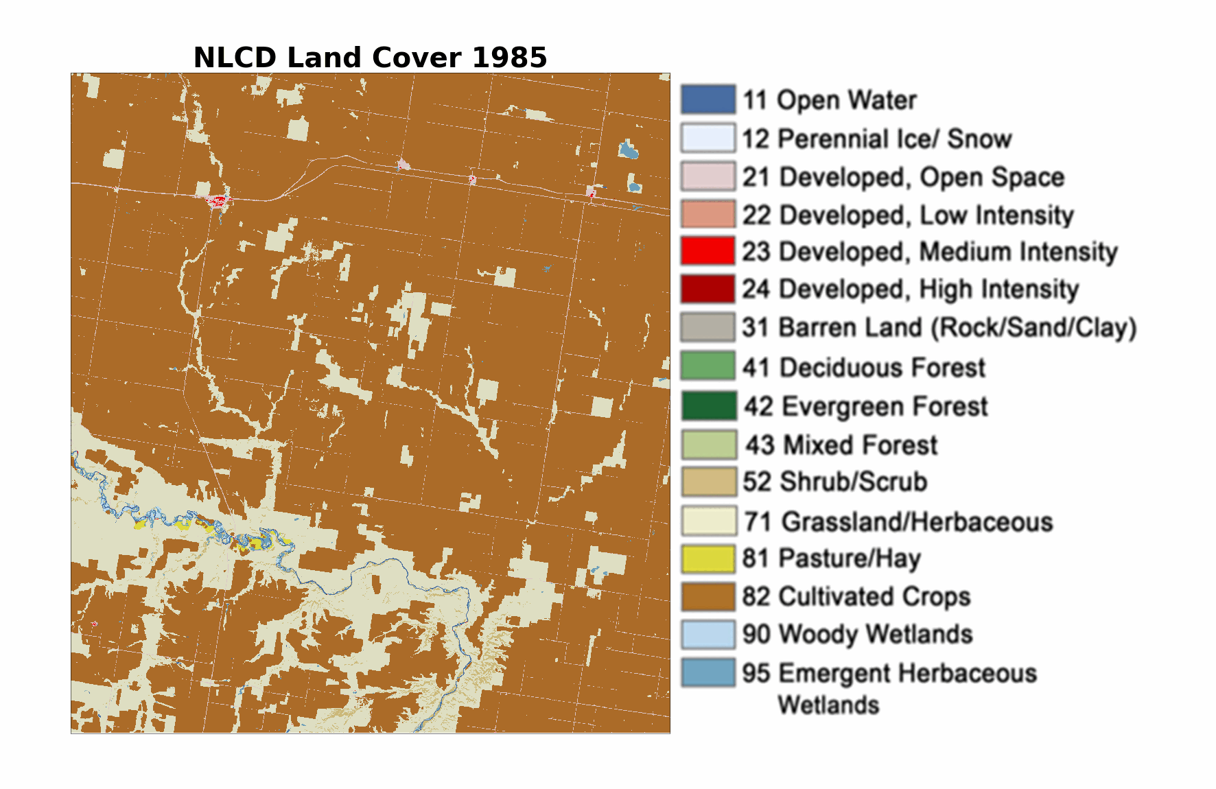
Annual NLCD animation of land change in an area of northern Montana
Detailed Description
An animation of Annual National Land Cover Database (NLCD) land cover, 1985-2023. This view of the cropland study area in Montana shows cropland (brown) changing to grassland (yellow and very light tan) and then back to cropland again. These areas of flux may be related to CRP enrollment.
Sources/Usage
Public Domain.