
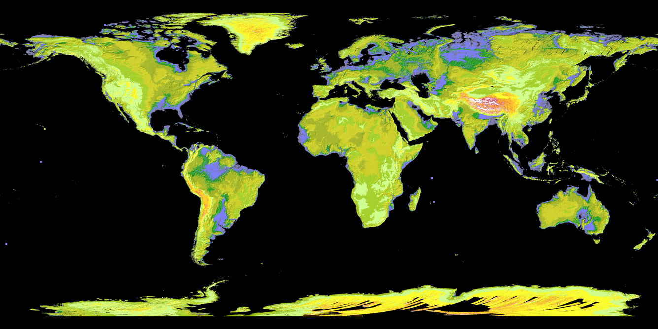
ASTER Global Digital Elevation Model (GDEM) map
By Earth Resources Observation and Science (EROS) Center
2009 (approx.)
Detailed Description
The ASTER Global Digital Elevation Model (GDEM) was first produced in 2009 using 1.2 million stereo scenes, and version 3 in 2019 used 1.8 million stereo scenes. In this colorized version, low elevations are purple, medium elevations are greens and yellows, and high elevations are orange, red and white. ASTER (Advanced Spaceborne Thermal Emission and Reflection Radiometer) is an instrument resulting from a U.S. and Japanese partnership that is aboard NASA's Terra satellite. The USGS Earth Resources Observation and Science (EROS) Center houses NASA's LP DAAC, which archives and distributes ASTER data. Image courtesy of NASA.
Sources/Usage
Public Domain.