
ATRIS
By St. Petersburg Coastal and Marine Science Center
2017 (approx.)

Detailed Description
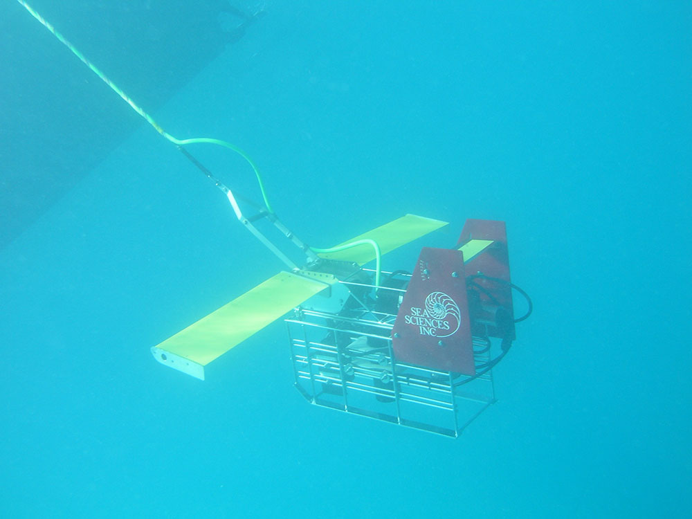
ATRIS (Along-Track Reef Imaging System) equipped for deep water survey.
Sources/Usage
Public Domain.
Related

Fine-scale Benthic Habitat Mapping
Both ATRIS configurations were deployed in Dry Tortugas National Park (DRTO) to fill information gaps in the spatial coverage of existing habitat maps.
Along-Track Reef Imaging System (ATRIS)
ATRIS is a benthic-survey tool that simultaneously acquires geo-located, color, digital images with corresponding water depths.
Related
Fine-scale Benthic Habitat Mapping
Both ATRIS configurations were deployed in Dry Tortugas National Park (DRTO) to fill information gaps in the spatial coverage of existing habitat maps.
Along-Track Reef Imaging System (ATRIS)
ATRIS is a benthic-survey tool that simultaneously acquires geo-located, color, digital images with corresponding water depths.