
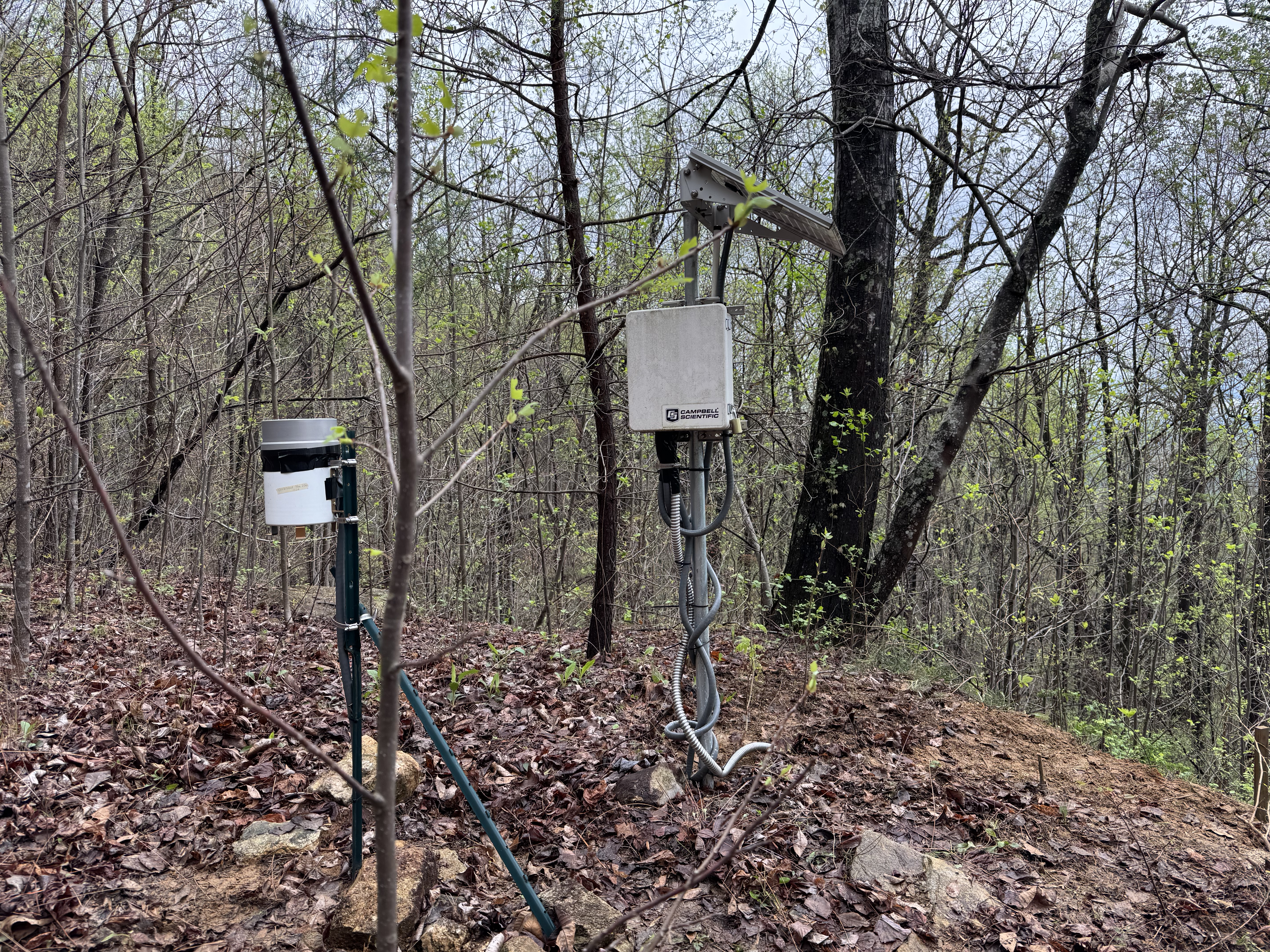
Brights Creek landslide monitoring station

Detailed Description
View of rain gage, monitoring station enclosure and solar panel above a steep slope draining into a tributary of Brights Creek.
Sources/Usage
Public Domain.
Related

Brights Creek, North Carolina
The USGS and its cooperators at the North Carolina Geological Survey have installed instruments in a steep hillside at Brights Creek, approximately 15 km east of Hendersonville, North Carolina. Data collection at this site supports research on hydrologic factors that control landslide initiation and is provided here for situational awareness before and during major storm events.
Related
Brights Creek, North Carolina
The USGS and its cooperators at the North Carolina Geological Survey have installed instruments in a steep hillside at Brights Creek, approximately 15 km east of Hendersonville, North Carolina. Data collection at this site supports research on hydrologic factors that control landslide initiation and is provided here for situational awareness before and during major storm events.