
Cedar Rapids Geophysical Survey - Helicopter and Sensor 2

Detailed Description
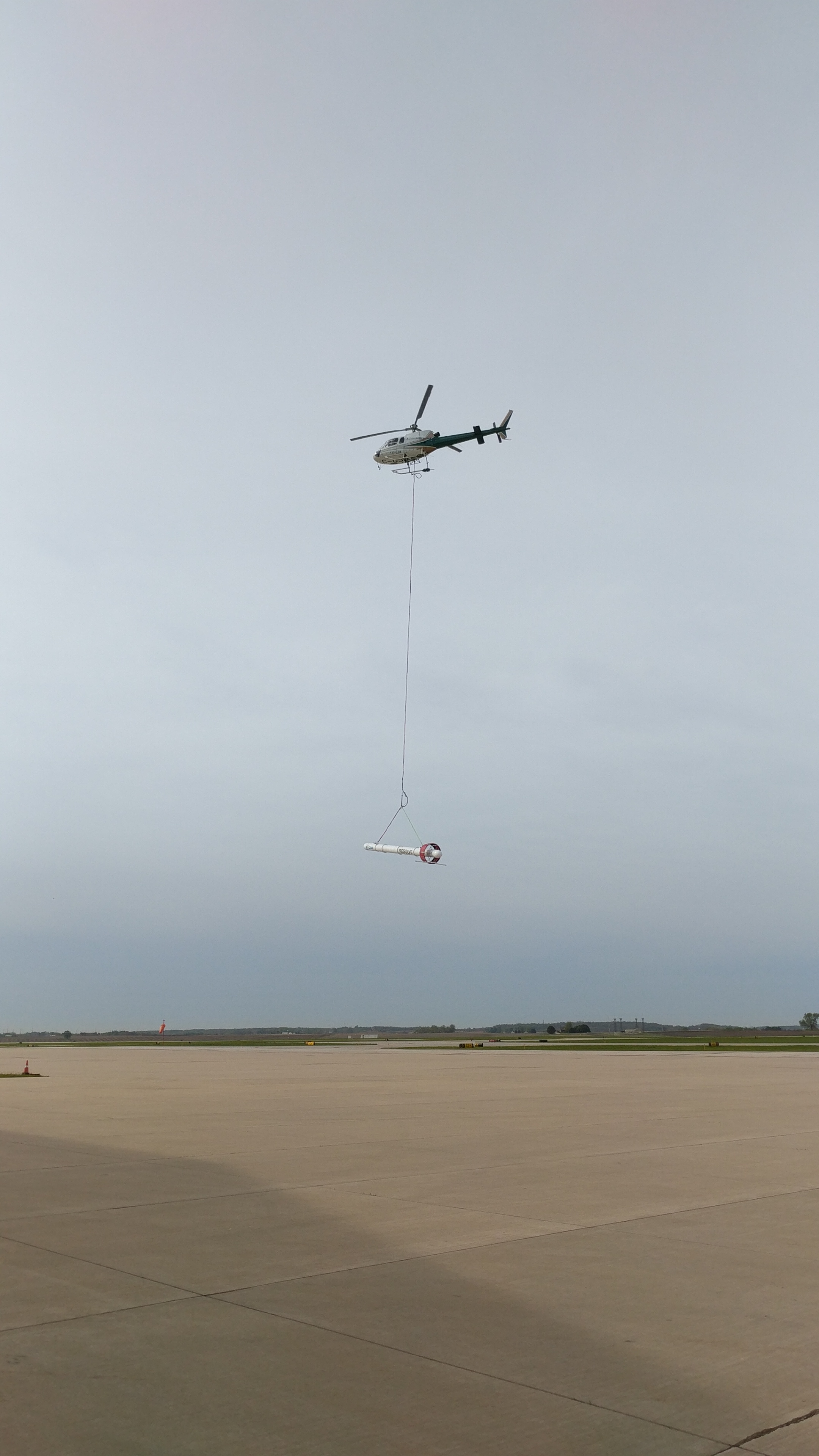
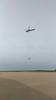
A helicopter towing a large, cylindrical sensor will make low-level flights over parts of Cedar Rapids, Iowa, as part of a groundwater survey in May 2017.
The flights will collect and record underground geologic measurements to help the U.S. Geological Survey better determine groundwater resources in the Cedar River Aquifer. The helicopter, operated by CGG Canada Services under contract to the City of Cedar Rapids, will fly about 200 feet above the ground at almost 70 miles per hour. A remote sensing device will be tethered 100 feet below the helicopter and will measure the physical properties down to about 150 feet underground.
Sources/Usage
Public Domain.