
Clackamas River high-flow survey
Detailed Description
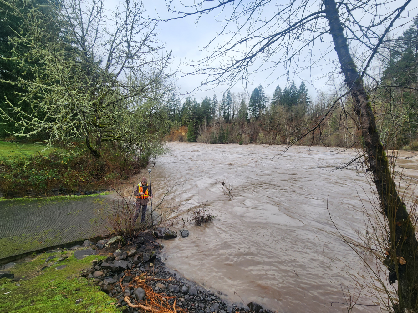
USGS scientist, wearing a personal protection device, or PFD, surveys water levels and debris line on the Clackamas River, Milo McIver park boat ramp. These measurements are used to validate a 2D hydraulic model of the Clackamas River. These new high-resolution models will help the USGS and our partners address various water resource and hazard issues along the Clackamas.
Sources/Usage
Public Domain.