
Collecting Shoreline and Volumetric Data
By Woods Hole Coastal and Marine Science Center
June 2024 (approx.)
Detailed Description
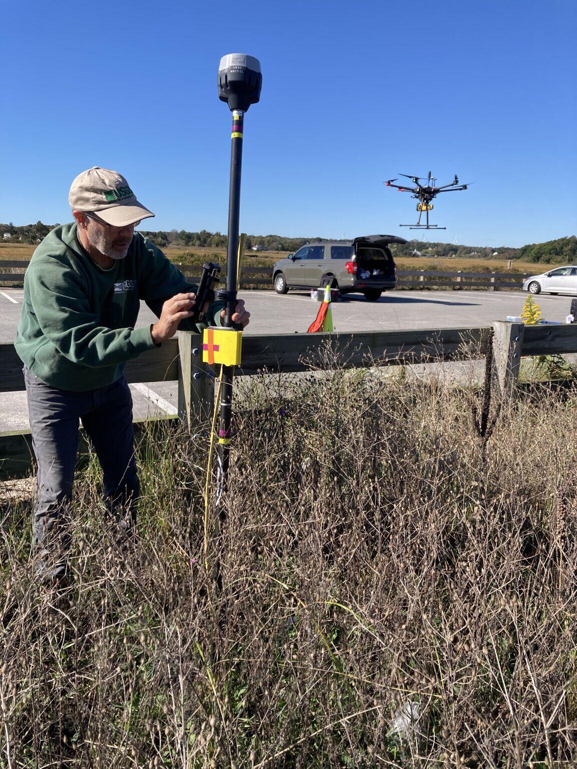
From June through December, WHCMSC scientists are collecting shoreline and volumetric data at a beach in Sandwich, Massachusetts following a 2023 U.S. Army Corps of Engineers beach nourishment. The data will be useful for various purposes. Chris Sherwood is interested in comparing how the different measuring techniques work on different types of vegetation. Amy Farris wants to learn how beach slope varies over time, especially after beach nourishment, which will help us understand how effective shoreline positions derived from satellite images are at monitoring beaches after they have been nourished.
Sources/Usage
Public Domain.