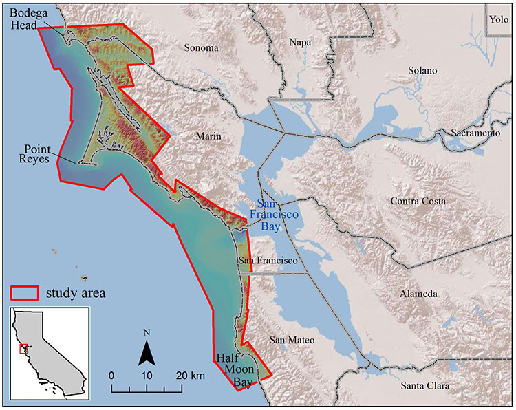
An official website of the United States government
Here's how you know
Official websites use .gov
A .gov website belongs to an official government organization in the United States.
Secure .gov websites use HTTPS
A lock () or https:// means you’ve safely connected to the .gov website. Share sensitive information only on official, secure websites.
Due to a lapse in appropriations, the majority of USGS websites may not be up to date and may not reflect current conditions. Websites displaying real-time data, such as Earthquake, Volcano, LANDSAT and Water information needed for public health and safety will be updated with limited support. Additionally, USGS will not be able to respond to inquiries until appropriations are enacted. For more information, please see www.doi.gov/shutdown.
Our Coast Our Future (OCOF) is a collaborative, user-driven project providing science-based decision-support tools to help coastal planners and emergency responders understand, visualize, and anticipate local impacts from sea-level rise (SLR) and storms in the San Francisco Bay region.
CoSMoS 2.0: North-central California (outer coast)
Our Coast Our Future (OCOF) is a collaborative, user-driven project providing science-based decision-support tools to help coastal planners and emergency responders understand, visualize, and anticipate local impacts from sea-level rise (SLR) and storms in the San Francisco Bay region.