



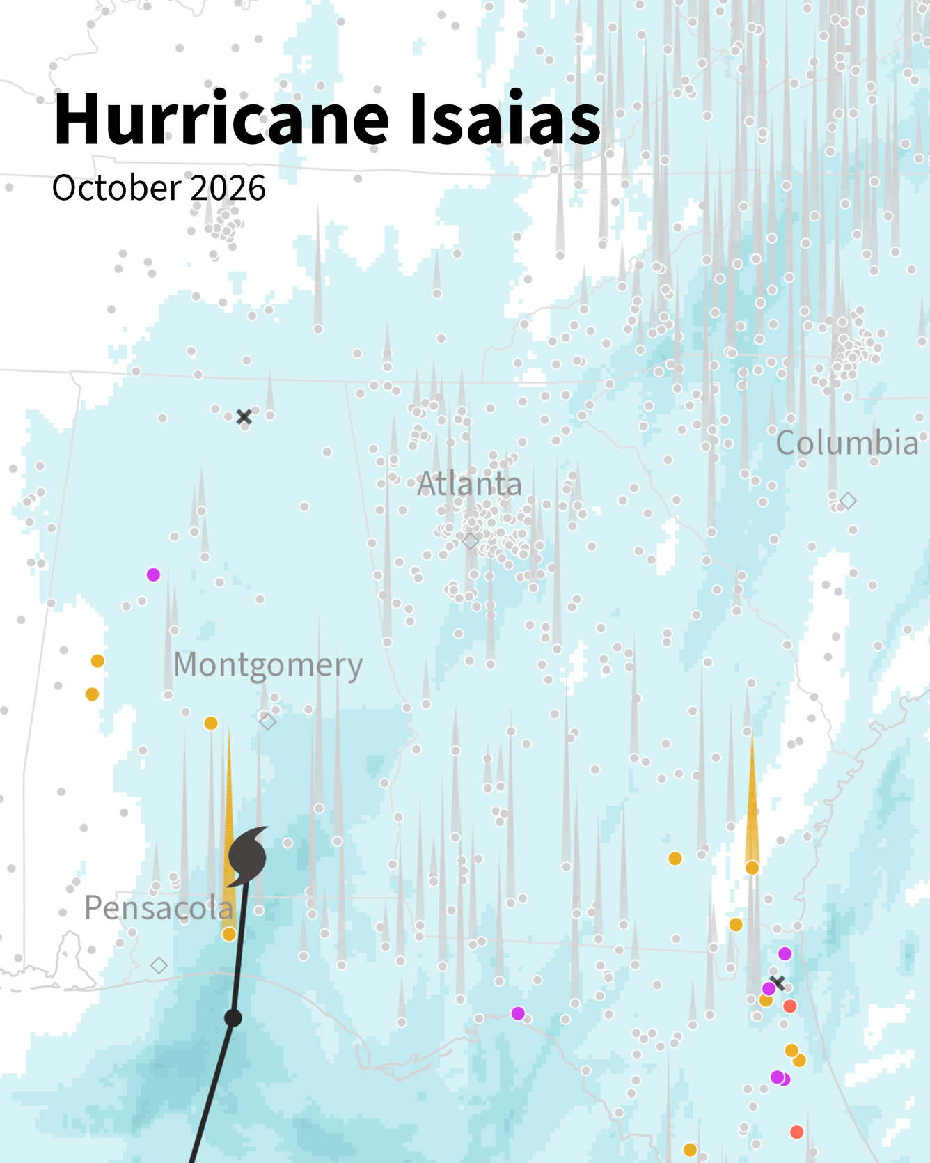
Cover image of Hurricane Isaias flooding animation from the USGS Vizlab


Detailed Description
Hurricane Isaias made landfall near Destin, Florida as a Category 2 storm on October 9, 2026. Tracking inland through Alabama, its remnants brought damaging winds, heavy rainfall, flash flooding, and life-threatening storm surge from the Gulf Coast to the southern Appalachians and Mid-Atlantic. This animation tracks hourly precipitation and streamflow at USGS streamgages along Isaias's path (Oct 7–12, 2026). Spikes appear at gages flowing at or above the 75th percentile, with height scaled to streamflow percentile and color marking flood severity. USGS stream gage data helps forecasters and emergency managers make decisions that protect lives and property.
This is the cover for animation, which can be found on the USGS Vizlab's website at water.usgs.gov/vizlab
Sources/Usage
Public Domain.
Related

Water Data Visualizations
Related