
Cracks divide active and inactive portions of Halema`uma`u lava lake
Detailed Description
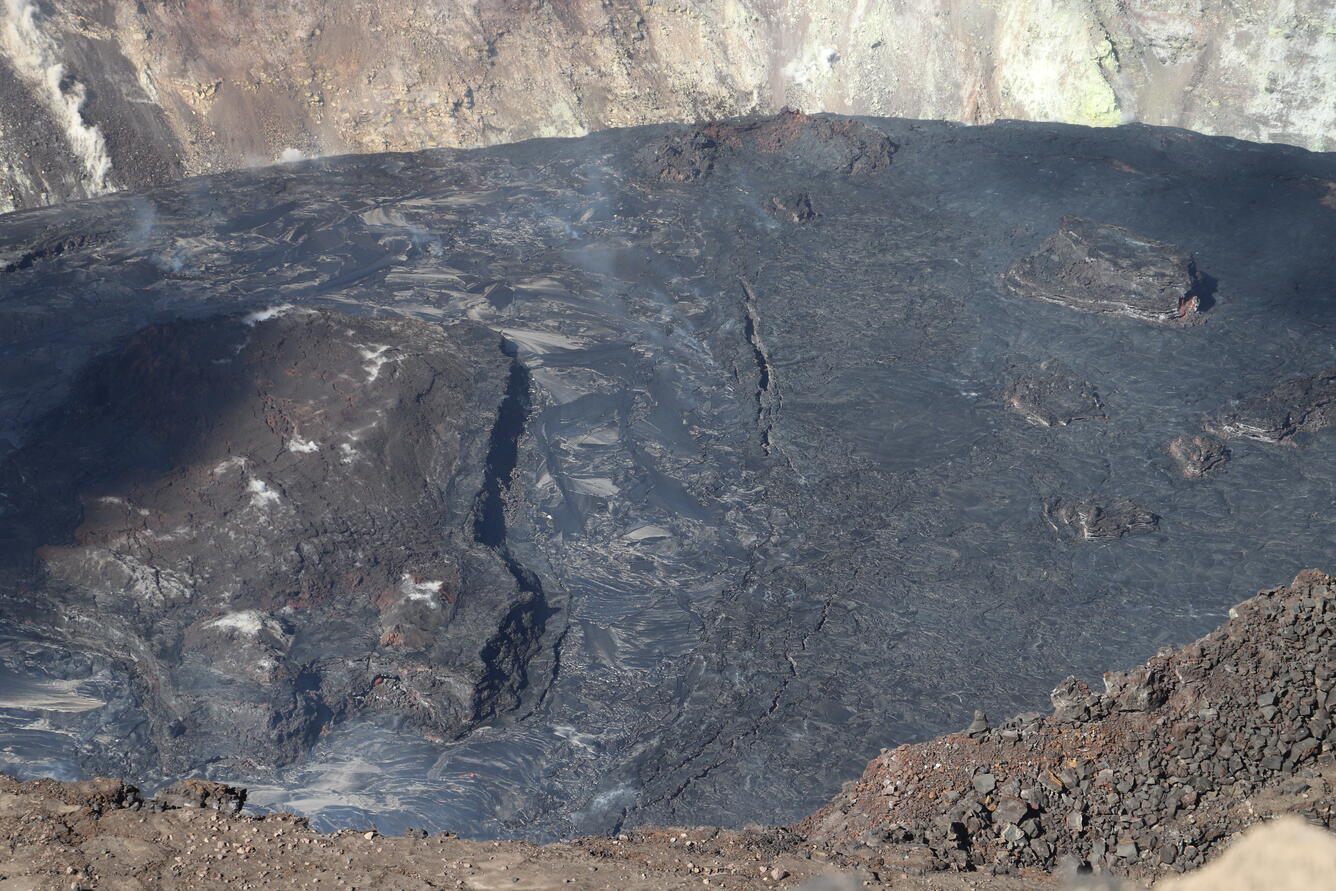
A north-south trending line of surficial cracks divides the boundary between the western active portion (left) and eastern stagnant portion (right) of the Halema‘uma‘u lava lake. Lake depth measurements taken on January 28th on both sides of the cracks (near center) indicate that the eastern portion of the lava lake is 4 meters (13 ft) lower than the western portion of the lava lake. In this view looking north, the majority of the largest island is visible in the western portion of the lava lake (gray shiny surface). In contrast, the stagnant eastern portion is a duller gray with several smaller islands visible. North of the cracks (upper center), the top of the inactive northern vent spatter cone is nearly submerged by the rising lava lake. USGS photo by N. Deligne.
Sources/Usage
Public Domain.