



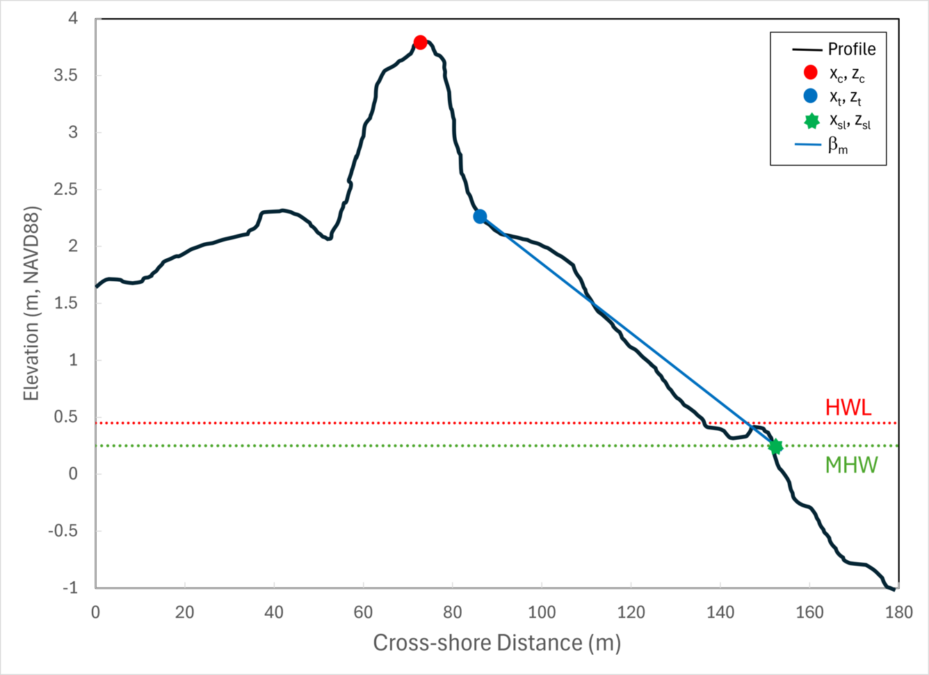
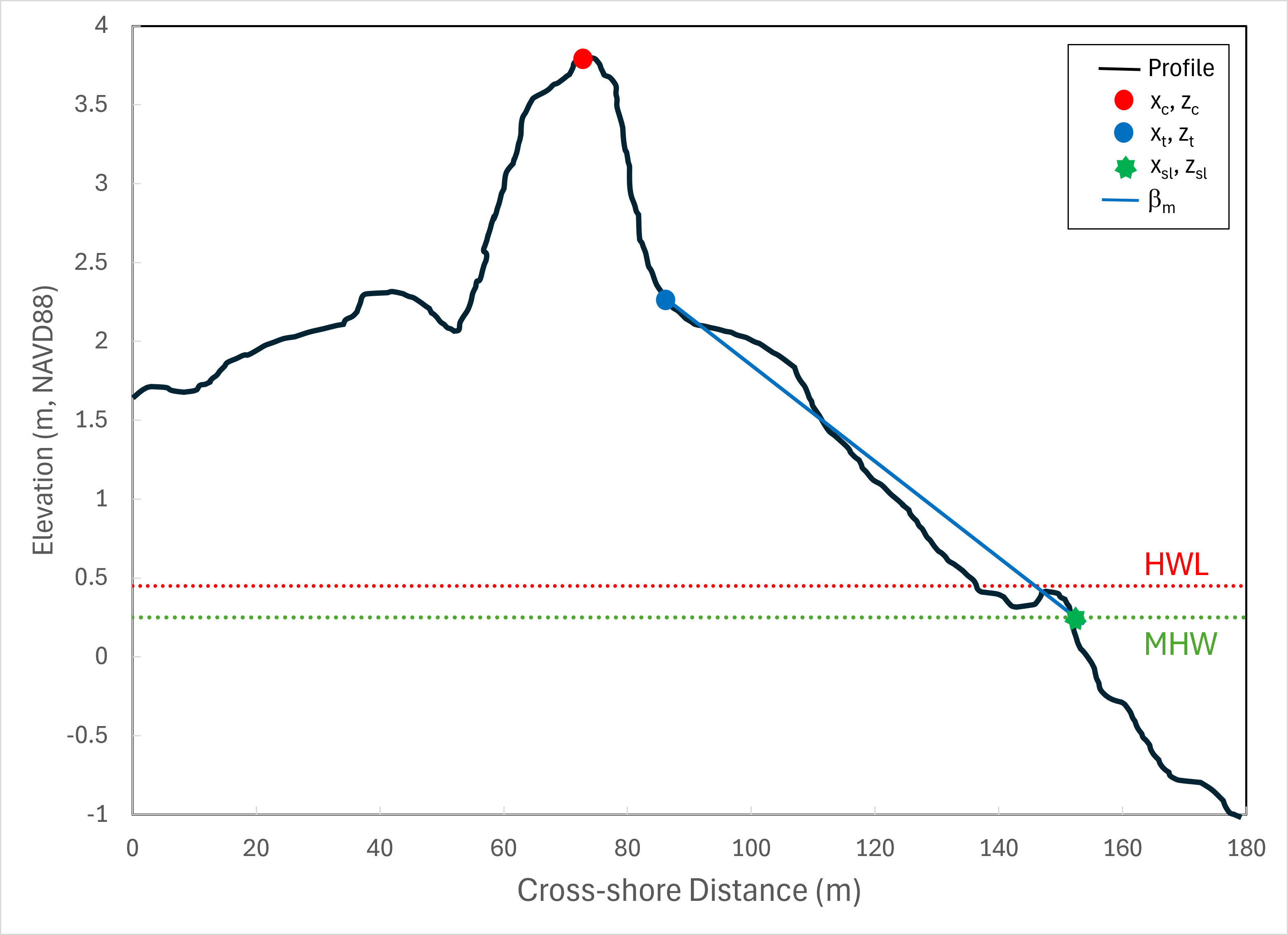
Cross-shore profile of lidar-based elevations


Detailed Description
Cross-shore profile of lidar-based elevations indicating the locations of the dune crest (xc, zc), toe (xt, zt), shoreline (xsl,zsl), mean beach slope (bm), mean high water (MHW), and high water line (HWL). Abbreviation: m, meter. (From Stockdon et al., 2012, National assessment of hurricane-induced coastal erosion hazards—Gulf of Mexico: U.S. Geological Survey Open-File Report 2012–1084: https://pubs.usgs.gov/of/2012/1084/).
Sources/Usage
Public Domain.
Related
Let’s Get Technical: Dunes & Beach Metrics
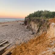
This webpage provides technical details regarding how the USGS calculates beach metrics related to morphology features; specifically, the dune crest position and elevation, the dune base/toe position and elevation and beach slope. This is a brief overview of that process with links and references to the full source material.
Related
Let’s Get Technical: Dunes & Beach Metrics
This webpage provides technical details regarding how the USGS calculates beach metrics related to morphology features; specifically, the dune crest position and elevation, the dune base/toe position and elevation and beach slope. This is a brief overview of that process with links and references to the full source material.