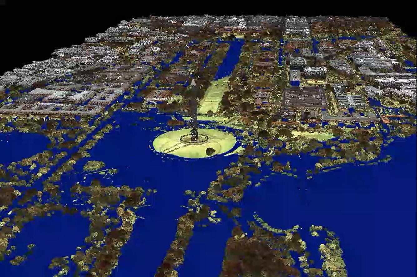
DC Flood Simulation
By National Geospatial Program
2018 (approx.)

Detailed Description
A 3-D point cloud rendition of the Mall area in Washington DC. The 3-D scene rotates around, while a simulated blue water level is raised several meters, showing what areas in the simulation become under water.
Sources/Usage
Public Domain.

