
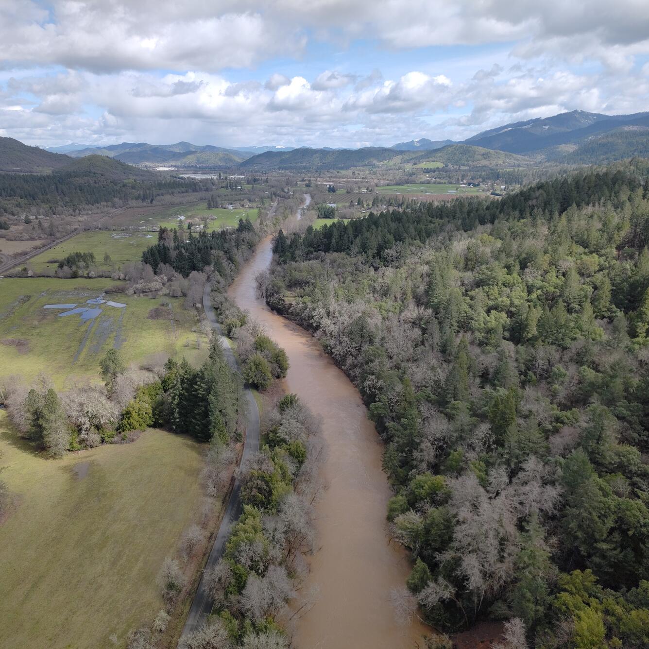
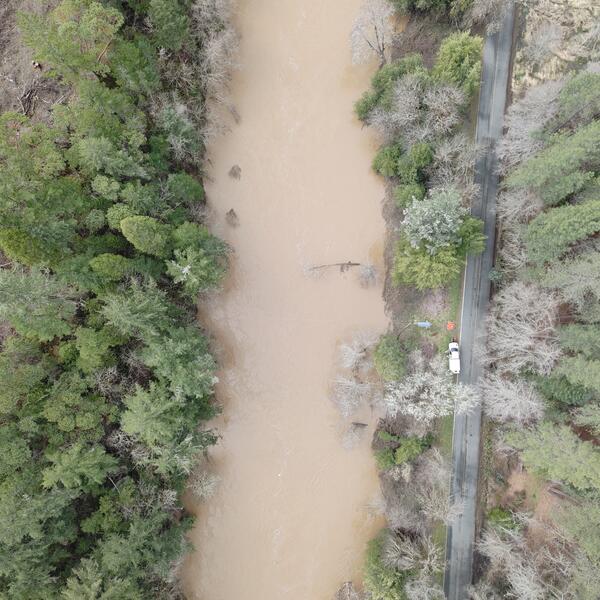
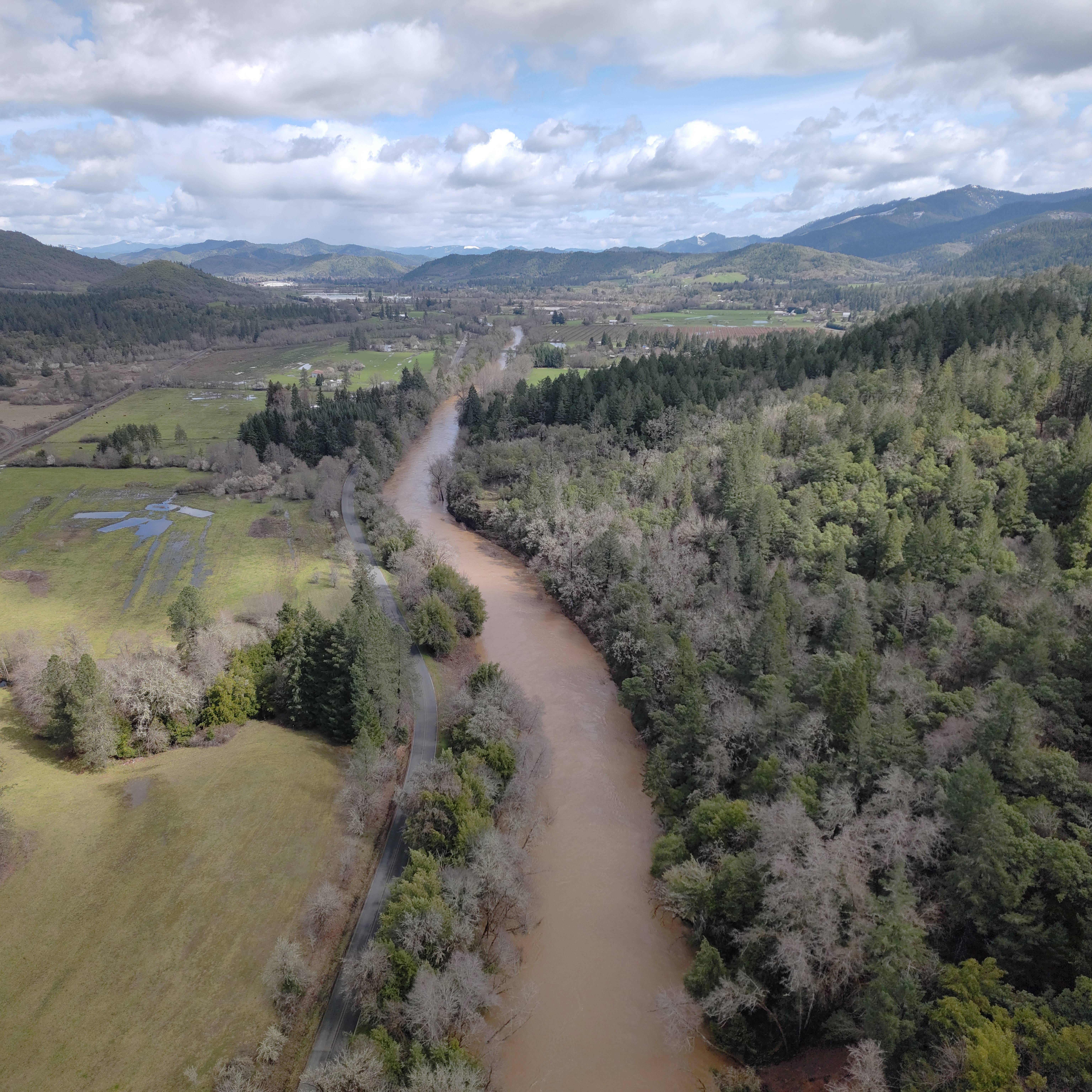
Drone-based surface velocimetry at Cow Creek near Riddle
Drone-based surface velocimetry at Cow Creek near RiddleThis aerial image was captured during a drone flight for drone-based surface velocimetry, which is a method for measuring the speed of water at the surface of a river or stream using video footage and computer software.