Equipment preperations

Detailed Description
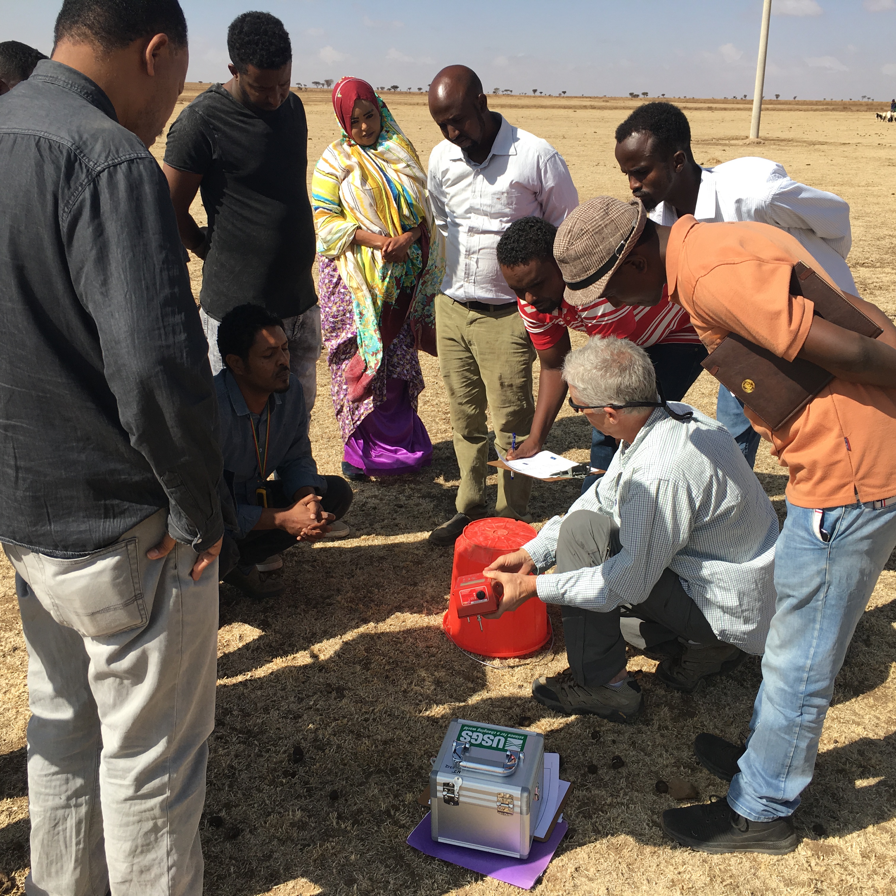
USGS scientist demonstrates the use of a passive seismic tool used for stratigraphy and bedrock mapping to local water officials.
Sources/Usage
Public Domain.

Official websites use .gov
A .gov website belongs to an official government organization in the United States.
Secure .gov websites use HTTPS
A lock () or https:// means you’ve safely connected to the .gov website. Share sensitive information only on official, secure websites.
USGS scientist demonstrates the use of a passive seismic tool used for stratigraphy and bedrock mapping to local water officials.
Public Domain.