



Evapotranspiration estimates over the United States 2000-2020


Detailed Description
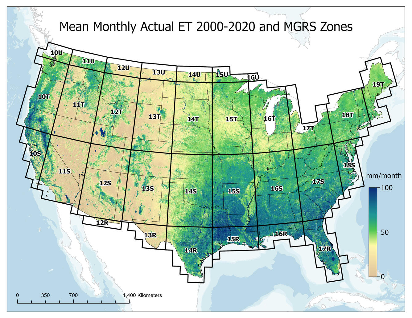
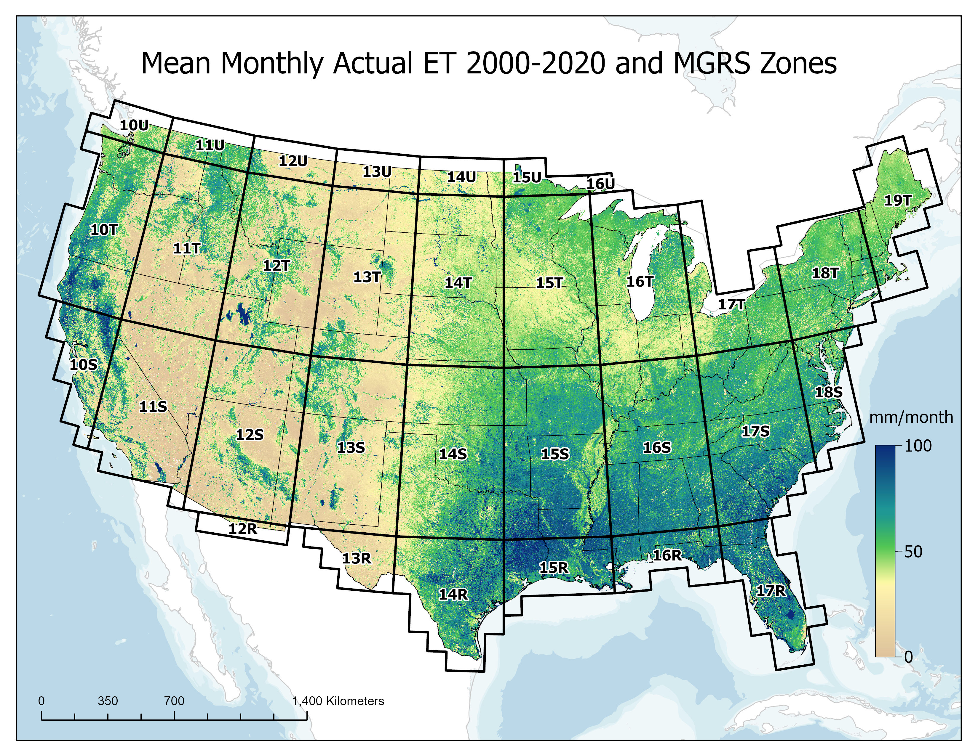
This map displays the estimated monthly actual ET, driven by land surface temperature from the Landsat thermal band from 2000-2020. The grids indicate Military Grid Reference System (MGRS) zones.
Visit the Monthly Actual Evapotranspiration from Landsat for the Conterminous United States (2000-2020) article within the 2025 Department of Interior Activities Report to learn more.
Sources/Usage
Public Domain.