



Latest in Landsat September 2026 - Vol. 5 | Issue 9
Landsat Satellite and Ground-Systems Operations
From plans to products
The USGS Landsat Ground System is the backbone of active Landsat satellite missions, powering everything from satellite and instrument control to global data acquisition and product delivery. Visit these pages to see how each step of the system works to support Landsat science every day.
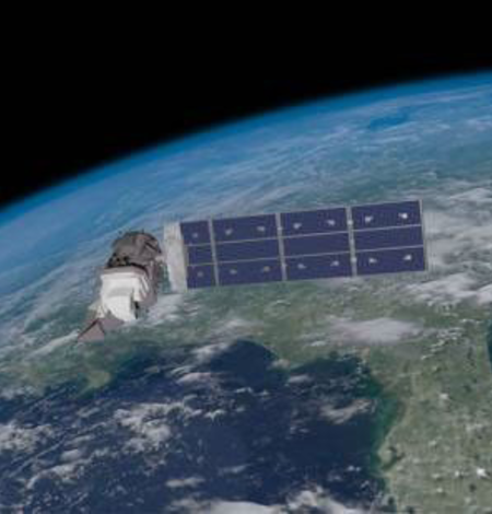
Landsat Mission Control
The Landsat Multi-Satellite Operations Center ensures Landsat satellites operate smoothly and deliver reliable, high-quality Earth observation data by commanding the satellites, monitoring their health and telemetry, and managing daily acquisition activities.
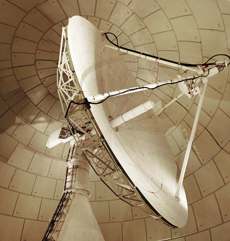
Landsat Ground Network
Five U.S. and international stations form the core Landsat Ground Network, transmitting commands to Landsat 8 and 9 and receiving spacecraft telemetry and science data. The Landsat Ground Network ensures reliable global acquisitions and delivery of Landsat data.
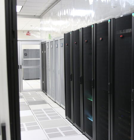
Landsat Data Processing, Archive, and Distribution
Located at the USGS Earth Resources Observation and Science (EROS) Center in South Dakota, the Data Processing and Archive System receives Landsat data collected through the Landsat Ground Network. The data are validated, cataloged, processed into standard Landsat science products and preserved in the USGS Landsat archive for worldwide distribution.
How Landsat Serves Coastal Communities
-

Decades of satellite imagery show how groins reshape California beaches Decades of satellite imagery show how groins reshape California beaches
Long-term satellite observations show how human-built coastal structures influence the movement and buildup of sand along three Southern California beaches: Ventura, Santa Monica and Newport Beach.
Landsat Highlighted in 2025 DOI Remote Sensing Report

Recently released, the 2025 Department of Interior (DOI) Remote Sensing Activities Report showcases the work done by the agencies within the Department of Interior over the past year. The USGS Landsat program continues to play a vital role in understanding Earth’s landscapes and supports research that is described in the articles below.
Visit the 2025 DOI Remote Sensing Activities Report website to read articles submitted from all nine agencies within the DOI.
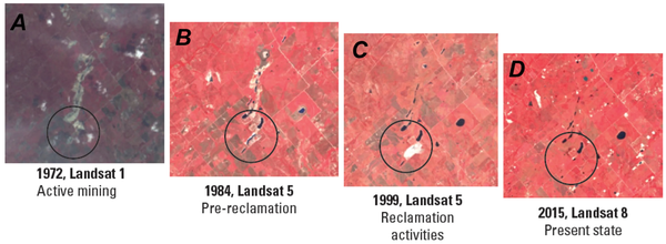
Identifying and Characterizing Mine Features in Texas
Scientists from the U.S. Geological Survey (USGS) Oklahoma-Texas Water Science Center used airborne lidar and Landsat satellite imagery to produce mine inventories, assess mine waste, identify undeveloped resources, and evaluate potential environmental health hazards from open-pit uranium mines in the south Texas Gulf Coast region that were operational during the second half of the 20th century.
Using Landsat to Study Thermal Areas in Yellowstone
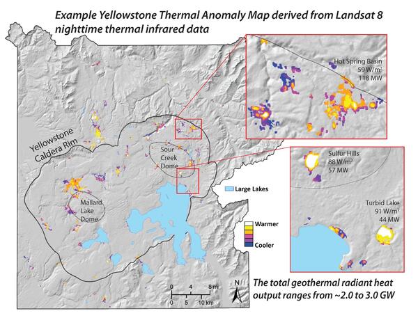
The USGS Yellowstone Volcano Observatory uses nighttime, thermal infrared images from Landsat 8 and 9 to monitor Yellowstone National Park, a large, dormant, yet restless caldera system that is considered a high-threat volcano, ranked 21st in threat level among 161 active U.S. volcanoes.
Monthly Actual Evapotranspiration from Landsat for the Conterminous United States (2000-2020)
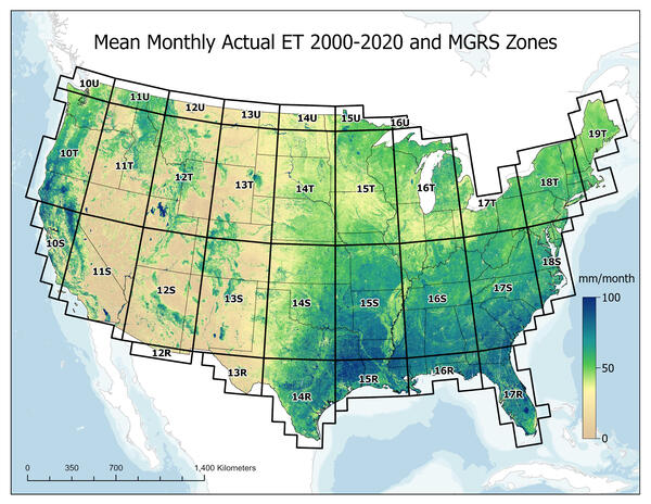
USGS EROS scientists have developed and published 21 years of monthly Landsat-based actual evapotranspiration (ETa) layers to support a range of agro-hydrologic applications, from calculating a basin water budget to assessing water consumption for crop yield prediction and drought monitoring.
Understand Remote Sensing and Land Change Science with Landsat

Remote Sensing Classroom
Check out these fun engaging lessons and activities to learn more about remote sensing and to understand land change with Landsat! Interactive applications, puzzles and games help students of all ages to learn how remote sensing scientists use 50 years of Landsat satellite data to track changes to the Earth’s surface.
Landsat's View of the USA
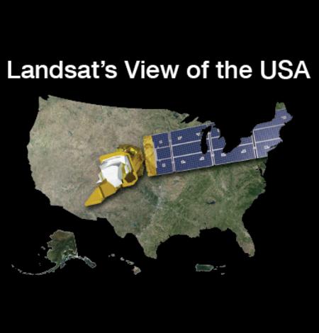
How does your state use Landsat satellite data? Find out here! For each state, you can download a satellite image, put together an online puzzle, or read a USGS Fact Sheet that contains information about the benefits of Landsat.

Earthshots
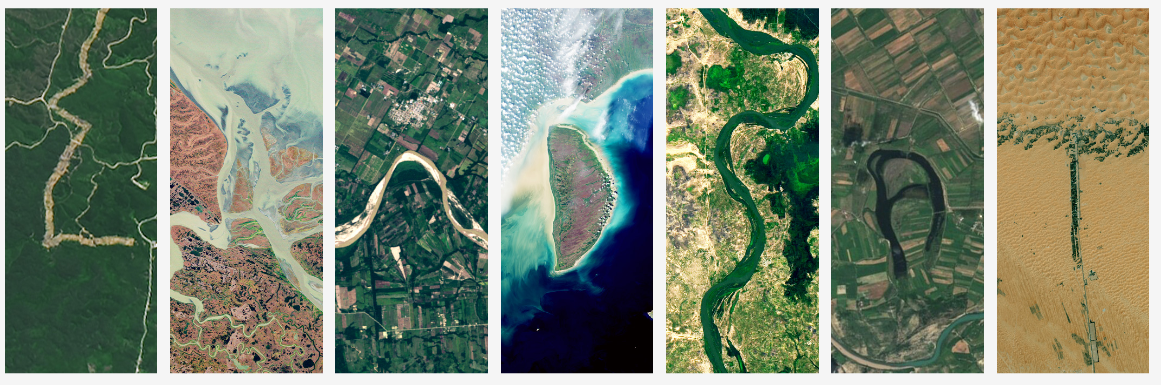
The surface of the Earth is always changing. Some changes like earthquakes, volcanoes, floods, and landslides happen quickly, and other changes, such as most erosional processes, happen slowly over time. It’s often hard to see these changes from ground level. Earthshots shows you how satellite data are used to track these changes over time.
See Your Name in Landsat!
Visit NASA's "Your Name in Landsat" interactive application to create your own colorful nameplate!
Got Questions? We’ve Got Answers!
-

Connect Connect
Explore the Landsat social media channels, discover the latest news and resources, and find answers to your questions about Landsat Missions, science products, and data access. We are here to help you stay informed!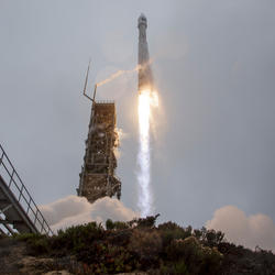
Landsat Missions Landsat Missions
Since 1972, the joint NASA/ U.S. Geological Survey Landsat series of Earth Observation satellites have continuously acquired images of the Earth’s land surface, providing uninterrupted data to help land managers and policymakers make informed decisions about natural resources and the environment.
Landsat is a part of the USGS National Land Imaging (NLI) Program.

Landsat Frequently Asked Questions Landsat Frequently Asked Questions
This page lists commonly asked questions pertaining to the Landsat satellite missions, the science behind maintaining high quality Landsat data, and what products are available - and how to download them.
EROS User Services
Your trusted resource for USGS EROS data and tools. As the primary contact point for the USGS Earth Resources Observation and Science (EROS) center, we help thousands of users each year access and understand our vast archive of remotely sensed imagery and science products.
Stay informed with the Latest in Landsat Newsletter
Direct to your inbox! Landsat's monthly newsletter features current news, uses, tools, and announcements about America's Earth-observing satellite program.
Subscribe to receive Latest in Landsat Newsletters
-

Latest in Landsat Newsletter Latest in Landsat Newsletter
Learn about the Latest in Landsat! This monthly newsletter highlights current news, uses, tools, and announcements about the Landsat suite of Earth-observing satellites and the data collected from them.
The Landsat program is a partnership between USGS and NASA. Landsat satellites have been observing Earth for over 50 years, making it the longest-running continuous global record of the Earth's surface.