
Figure 2 from Hausner, et al, 2018
Detailed Description
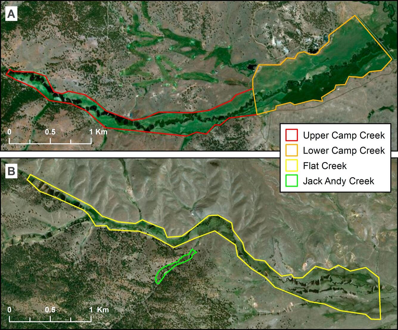
Delineated riparian study areas. (a) Upper (left) and Lower (right) reaches of Camp Creek. (b) Flat Creek (larger polygon) and Jack Andy Creek (smaller polygon).
Sources/Usage
Public Domain.
Hausner, et al, 2018
Hausner, M.B., Huntington, J.L., Nash, C., Morton, C., McEvoy, D.J., Pilliod, D.S., Hegewisch, K.C., Daudert, B., Abatzoglou, J.T., Grant, G.E., 2018, Assessing the effectiveness of riparian restoration projects using Landsat and precipitation data from the cloud-computing application ClimateEngine.org: Ecological Engineering, v. 120, no. 2018, p. 432-440, https://doi.org/10.1016/j.ecoleng.2018.06.024