



Flood Decision Support Toolbox Web Application
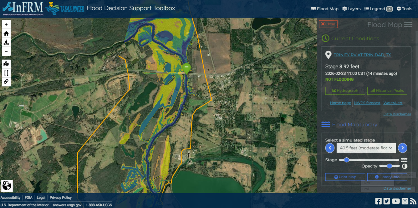


Detailed Description
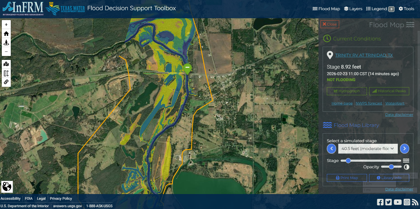
This is a screenshot of the USGS Flood Decision Support Toolbox web application. Digital geospatial flood inundation mapping can be a powerful tool for flood risk management. Flood inundation mapping that shows floodwater extent and depth over the land surface improves flood preparedness, communication, warning, response, and mitigation. This inundation map is based on USGS real-time streamgage observations, National Weather Service (NWS) forecasts, and US Army Corps of Engineers (USACE) flood operations.
Sources/Usage
Public Domain.
Related
Developing Riverine and Pluvial Flood Hazard Tools for Planning and Mitigation in Massachusetts
The U.S. Geological Survey (USGS), in cooperation with the Massachusetts Executive Office of Energy and Environmental Affairs (EOEEA), is developing a web-based tool to visualize flood data in Massachusetts. Climate projections, including those derived from the Climate and Hydrologic Risk Project, are being incorporated into new and existing flood models in pilot areas distributed across the...
Related
Developing Riverine and Pluvial Flood Hazard Tools for Planning and Mitigation in Massachusetts
The U.S. Geological Survey (USGS), in cooperation with the Massachusetts Executive Office of Energy and Environmental Affairs (EOEEA), is developing a web-based tool to visualize flood data in Massachusetts. Climate projections, including those derived from the Climate and Hydrologic Risk Project, are being incorporated into new and existing flood models in pilot areas distributed across the...