
Flooding in Pennsylvania
Detailed Description
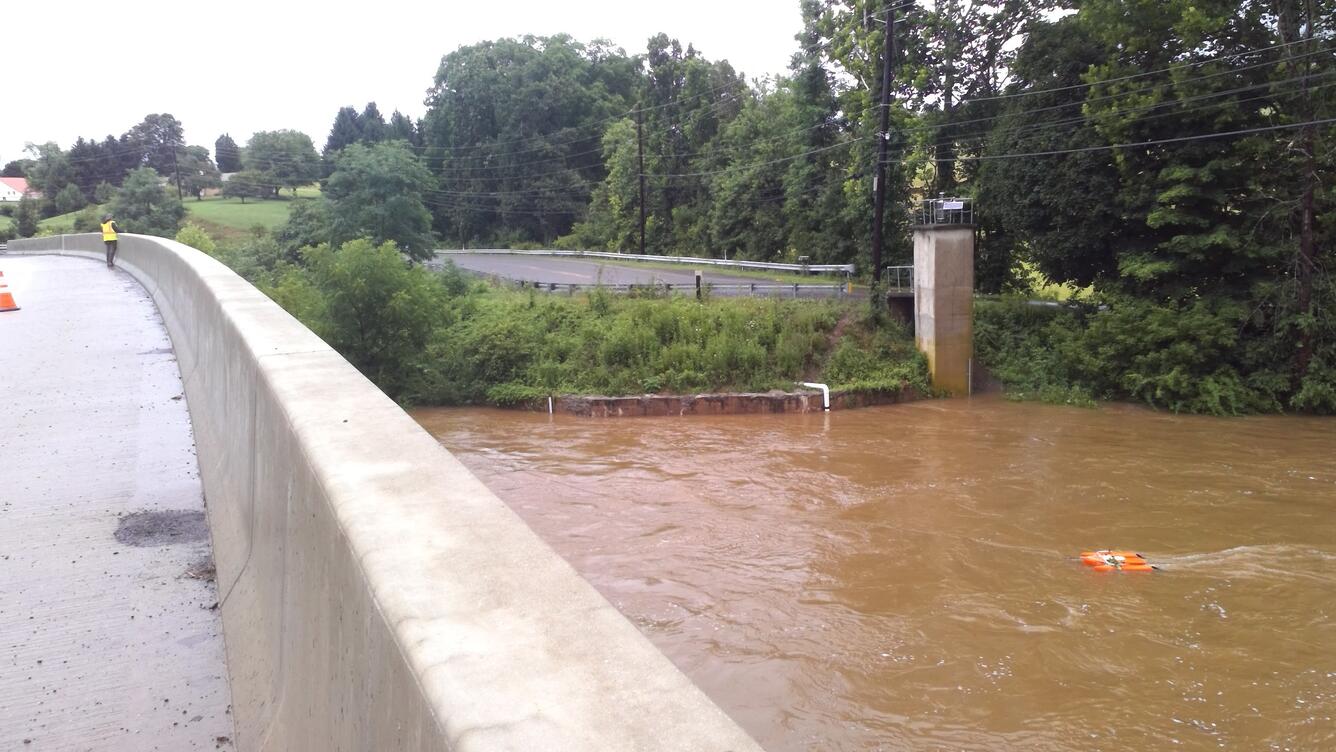
USGS scientist Nick Grim uses a tether boat to measure flood conditions on Sherman Creek at Shermans Dale, Pennsylvania. The boat has an Acoustic Doppler Current Profiler to measure the velocity, depth and distance across the channel. Normal water levels are usually 1.1 feet and the USGS recorded levels near 8 feet following heavy rain in the area.
Sources/Usage
Public Domain.