
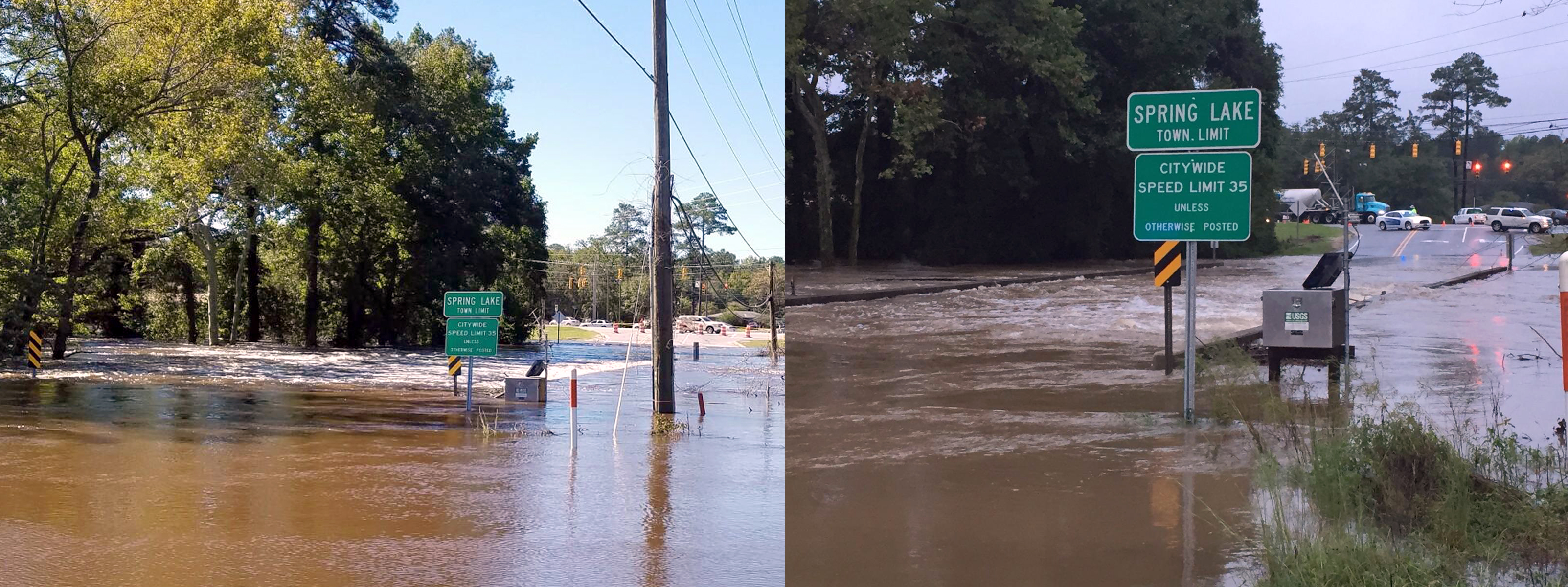
Flooding in Spring Lake, NC

Detailed Description
This USGS streamgage sits on the Little River in Spring Lake, North Carolina, and has recorded two record flood events in the past two weeks. The most recent flooding this week (left) was brought on by heavy rains from Hurricane Matthew and streamgage recorded the flood waters at almost 32 feet. The last flood event (right) was on September 29, when water levels went just over 31 feet, breaking the previous peak of 29 feet set in 1945. USGS photos.