



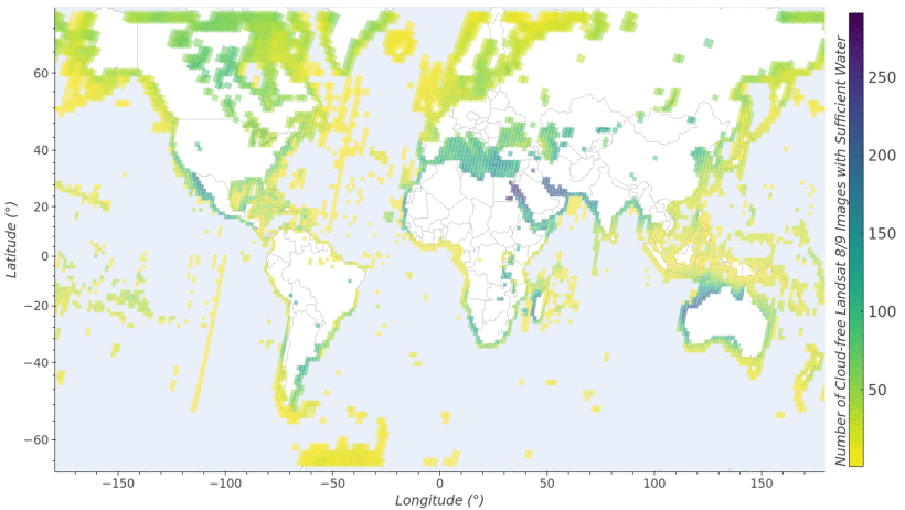
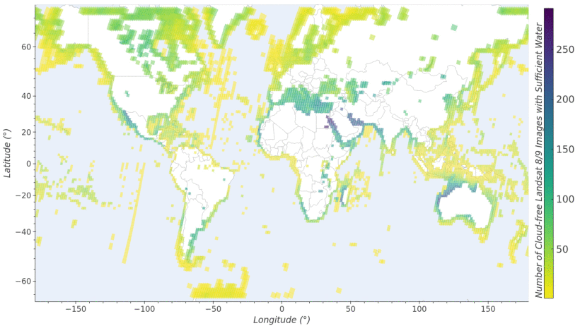
Geographic distribution of Landsat 8 and Landsat 9 scenes used for sun glint characterization


Detailed Description
Sun glint is a major limitation for spaceborne optical remote sensing of aquatic environments, particularly in tropical and subtropical regions.
This map shows the geographic distribution of the cloud-free Landsat 8 and Landsat 9 scenes used for sun glint characterization for the July 2026 USGS publication Across-track tilt concept for sun glint mitigation in future Earth-observing missions
Sources/Usage
Public Domain.