
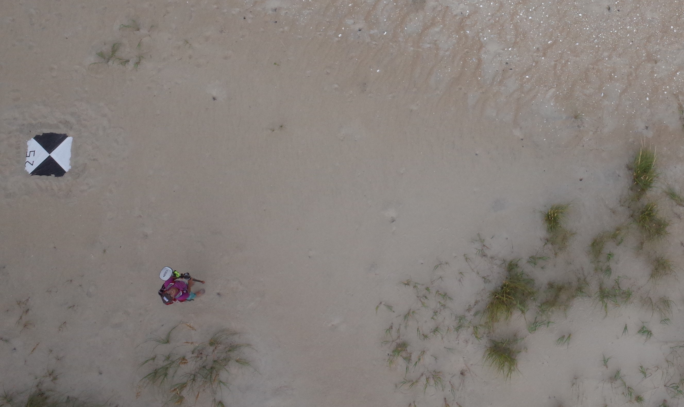
GPS survey is caught on camera from the helikite

Detailed Description
Ground surveys work in tandem with aerial surveys. USGS Geographer Jin-Si Over walks below the helikite using GPS gear to create Ground Control points, the helikite, which is taking photos of the beach will use the surveyed targets to create a map of the beach.
Sources/Usage
Public Domain.