
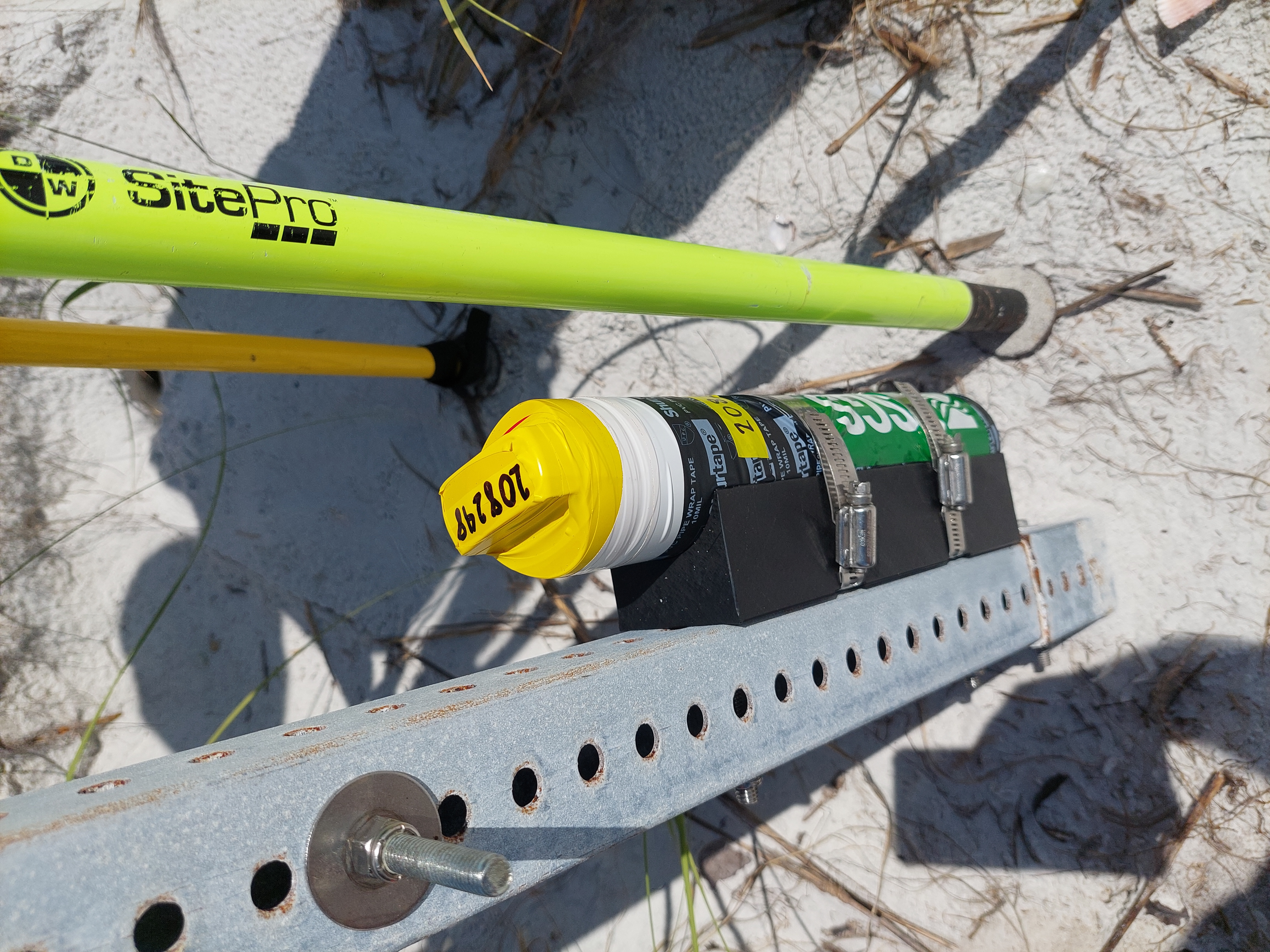
Ground level elevation being measured below sensor at Fort DeSoto

Detailed Description
Once USGS Scientists deploy a sensor, they measure the ground elevation below the sensor that allows them to determine a rough estimate of sediment loss when they retrieve the instrument after the storm. This also allows for a pre- and post-storm comparison of the beach; invaluable information to understanding storm damage and model accuracy.
Sources/Usage
Public Domain.