
Guadalupe River 2016 Fishing
Detailed Description
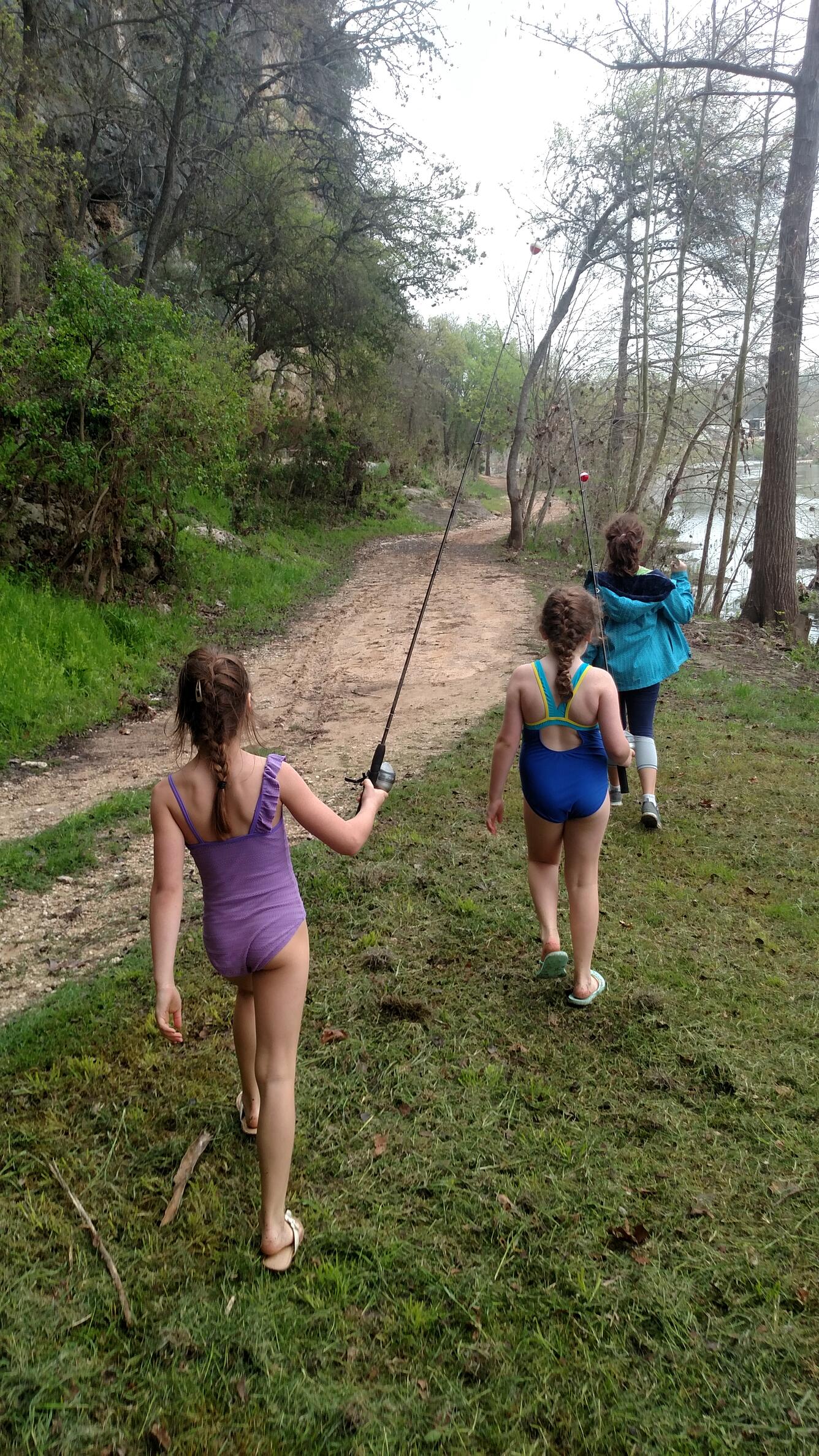
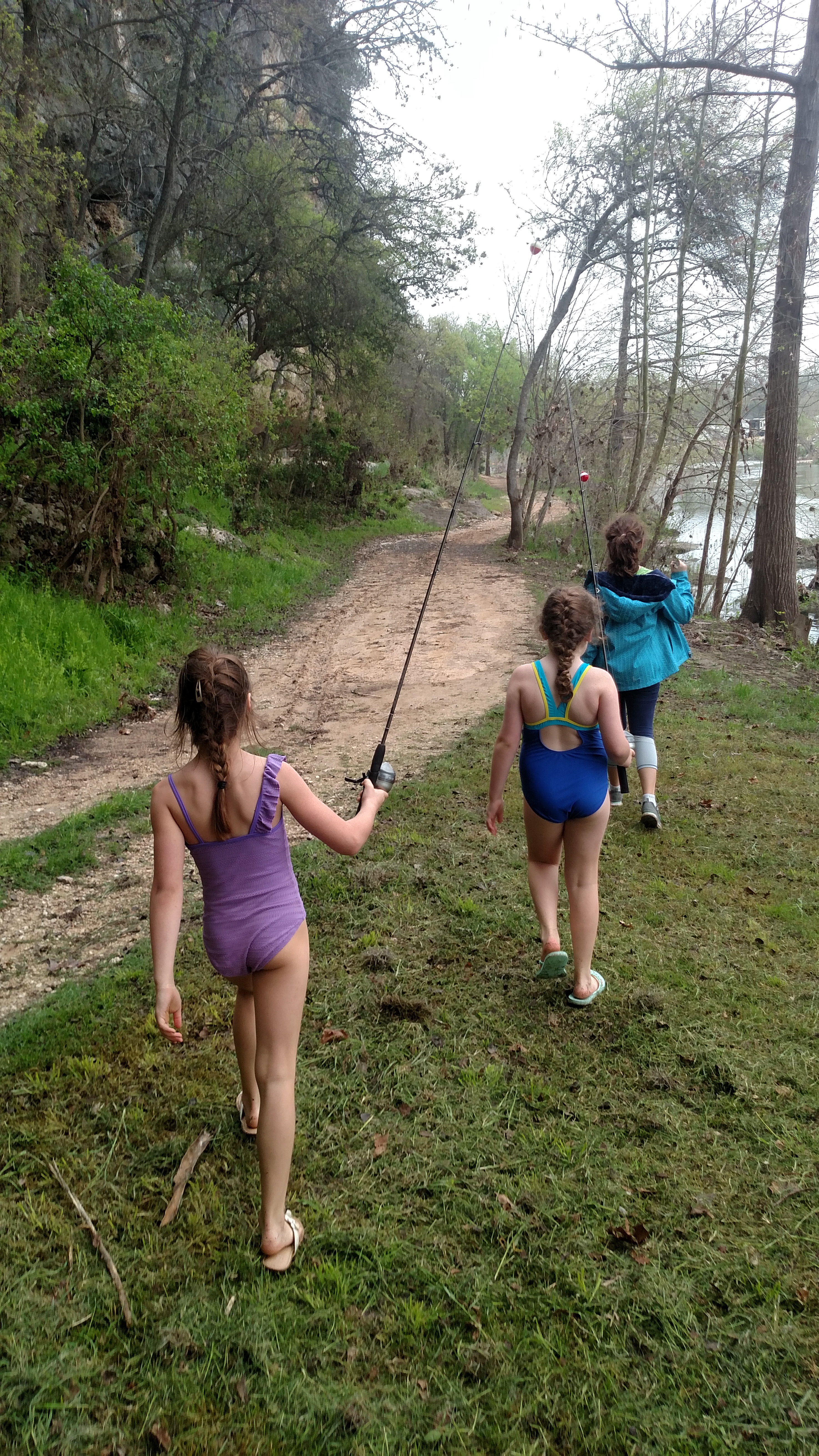
Several camps, resorts and parks are located along the scenic Guadalupe River. Children explore and fish along the banks of the Guadalupe River near historic Gruene, Texas.
The new USGS Texas Water Dashboard is a cutting-edge USGS map that provides critical current water information and National Weather Service forecast data at your fingertips on a desktop, smartphone or other mobile device. Understanding weather and streamflow can help determine the best places to go boating, fishing or hiking.
Sources/Usage
Public Domain.