
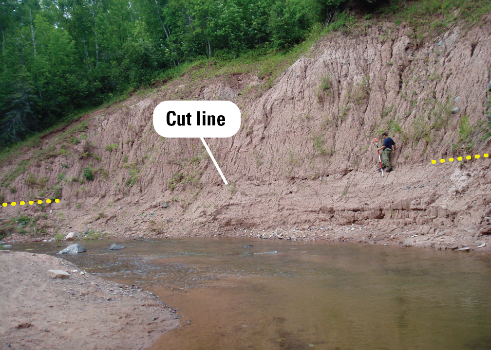
High-water mark: cut line in a sand/clay bluff

Detailed Description
A USGS hydrographer prepares to survey a cut line in a sand/clay bluff. The cut line can be seen along the edge between the rough surface with vertical gullies on the upper part of the bluff and the smoother, horizontally eroded surface below where the floodwaters were.
Sources/Usage
Public Domain.