
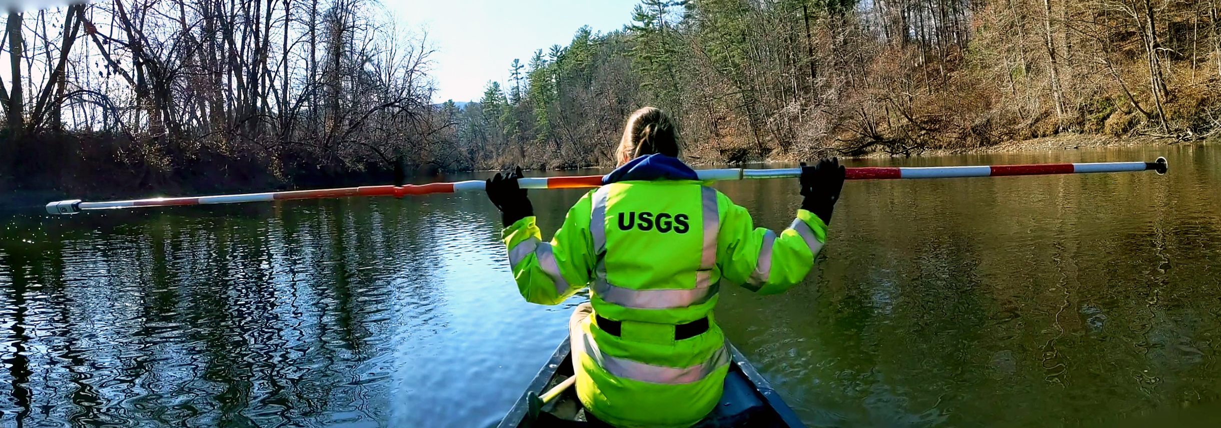
Housatonic channel measurements

Detailed Description
FEMA Flood Insurance Rate Maps.
A two teams of two USGS employees measured structures and channel cross sections along a section of the Housatonic River.
Sources/Usage
Public Domain.
Related

Development of Flood Insurance Maps in New England
FEMA has requested USGS expertise in hydraulics, hydrology, and mapping to generate flood insurance maps for New England.
Related
Development of Flood Insurance Maps in New England
FEMA has requested USGS expertise in hydraulics, hydrology, and mapping to generate flood insurance maps for New England.