
How deep is the 2018 dike under Highway 130?
Detailed Description
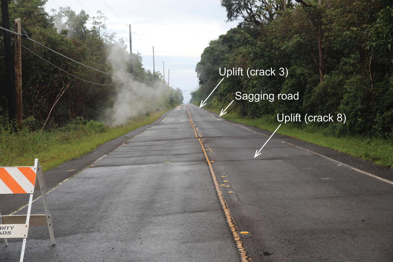
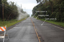
On May 10, 2018, Highway 130 (shown here) was newly cracked with steam coming up from the east side of the road due to the dike (tabular body of magma) that intruded Kīlauea's lower East Rift Zone. The two orange and white road markers are on slightly uplifted areas of the highway, which are about 100 m (330 ft) apart. Half way between the uplifted areas, the road is sagging, a result of the magma intrusion beneath the highway. USGS photo by C. Parcheta.
Sources/Usage
Public Domain.