
Ice Along the Western Antarctic Coastline
Detailed Description
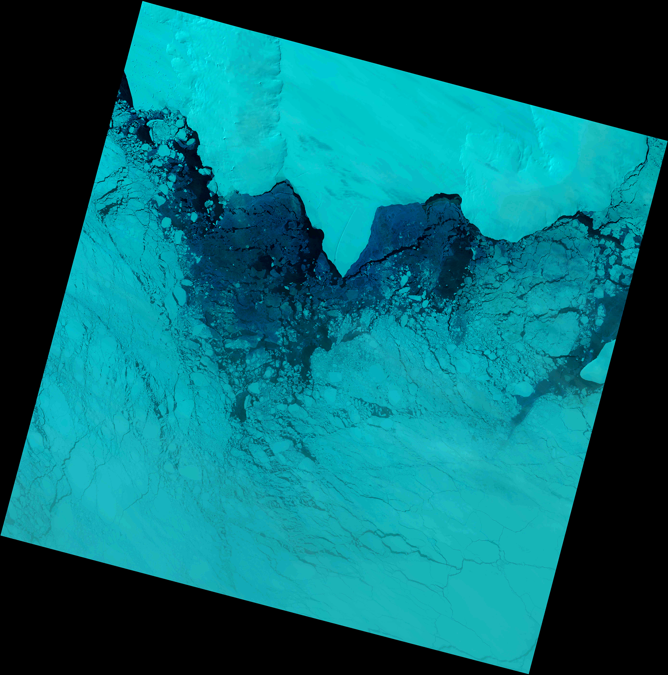
This Landsat 9 image shows ice along a portion of the Antarctic western coast and the Amundsen Sea.
This image was acquired on October 24, 2025, immediately after the Landsat 9 spacecraft recovered from a weeklong safehold event. The data used in this image were processed for the first time in March 2026.
Visit this Landsat Missions News webpage to learn more about the safehold event and the recent data processing.
Landsat 9
Path 006 Row 111
Acquired October 24, 2025
Bands 6,5,4
Sources/Usage
Public Domain.