
Kīlauea caldera gas mapping—August 3, 2021

Detailed Description
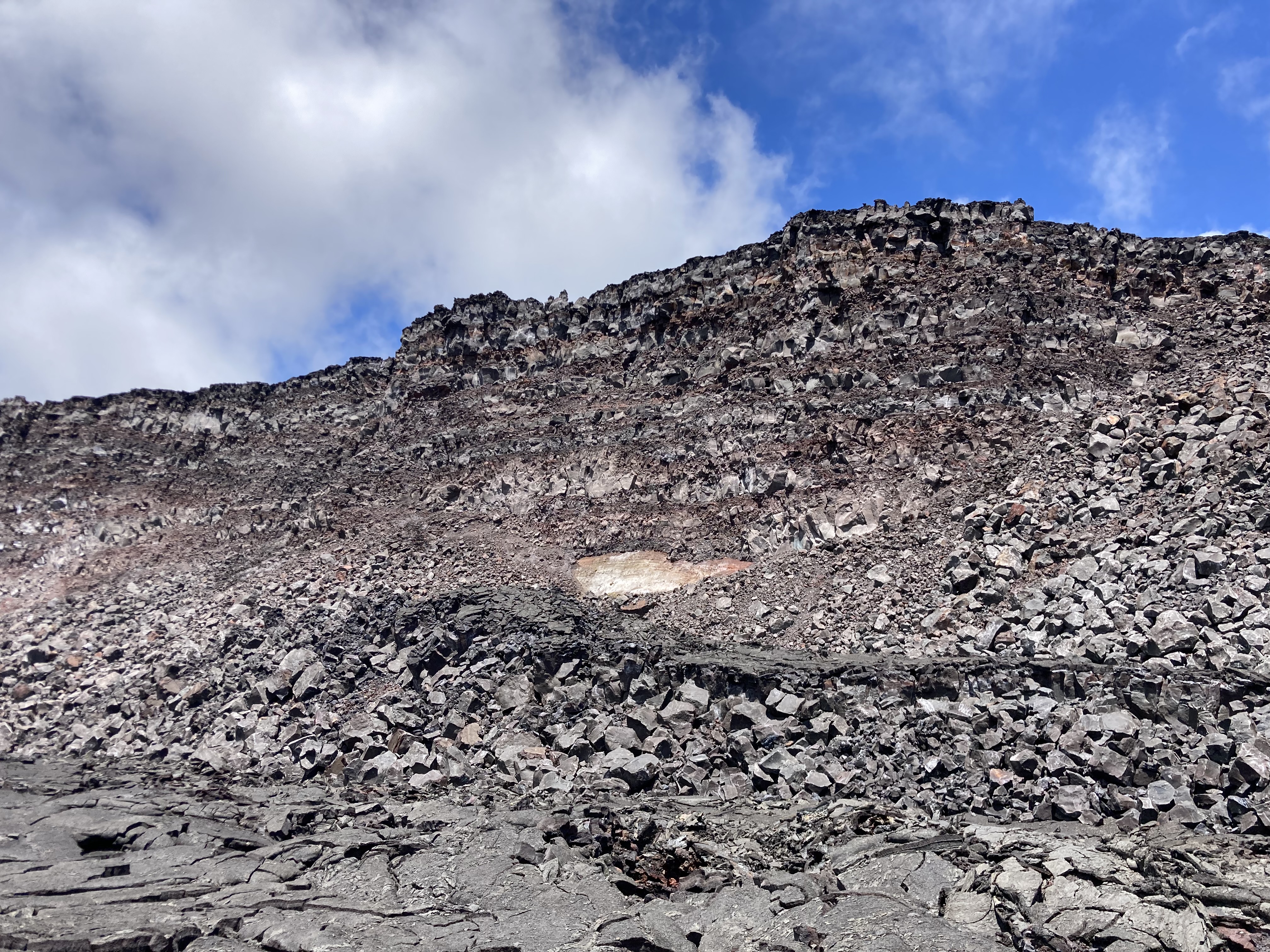
Stacked lava flows are visible in the wall of the down-dropped block, which was exposed during the Kīlauea summit collapse events in 2018. A small exposure of lighter-colored volcanic ash, likely the Keanakāko‘i tephra deposits erupted during Kīlauea's last explosive phase several hundred years ago, is visible beneath tens of meters (yards) of lava flows. USGS photo by K. Mulliken on August 3, 2021.
Sources/Usage
Public Domain.