
Keeping informed about Hawaii volcanoes is first step to preparedness

Detailed Description
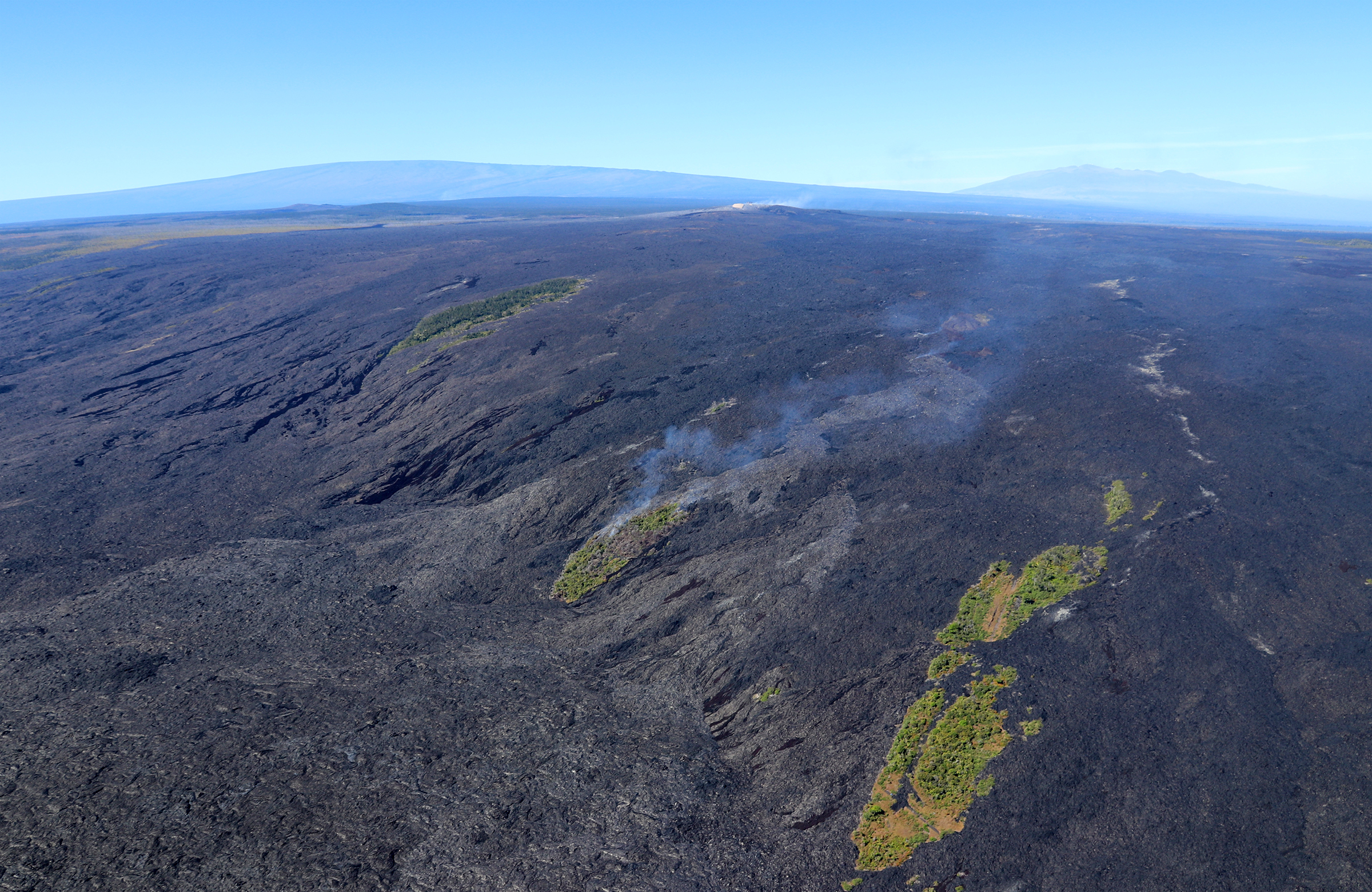
Spectacular aerial view of Kīlauea Volcano's East Rift Zone lava flows advancing over Pūlama pali in December 2017. As surface lava flows moved through the center kipuka (forested area) on the pali, smoke rose from the burning vegetation. Gases emitted from Pu‘u ‘Ō‘ō, the source of the 61g lava flow, can be seen in the distance above the smoke from the burning kipuka. Mauna Loa (left) and Mauna Kea (right) are visible in the far distance. If you look carefully in front of Mauna Loa, you can see the gas plume rising above Halema‘uma‘u at the summit of Kīlauea. Capturing both the summit and East Rift Zone eruptions in one photo is a rare sight! USGS photo by C. Parcheta.