
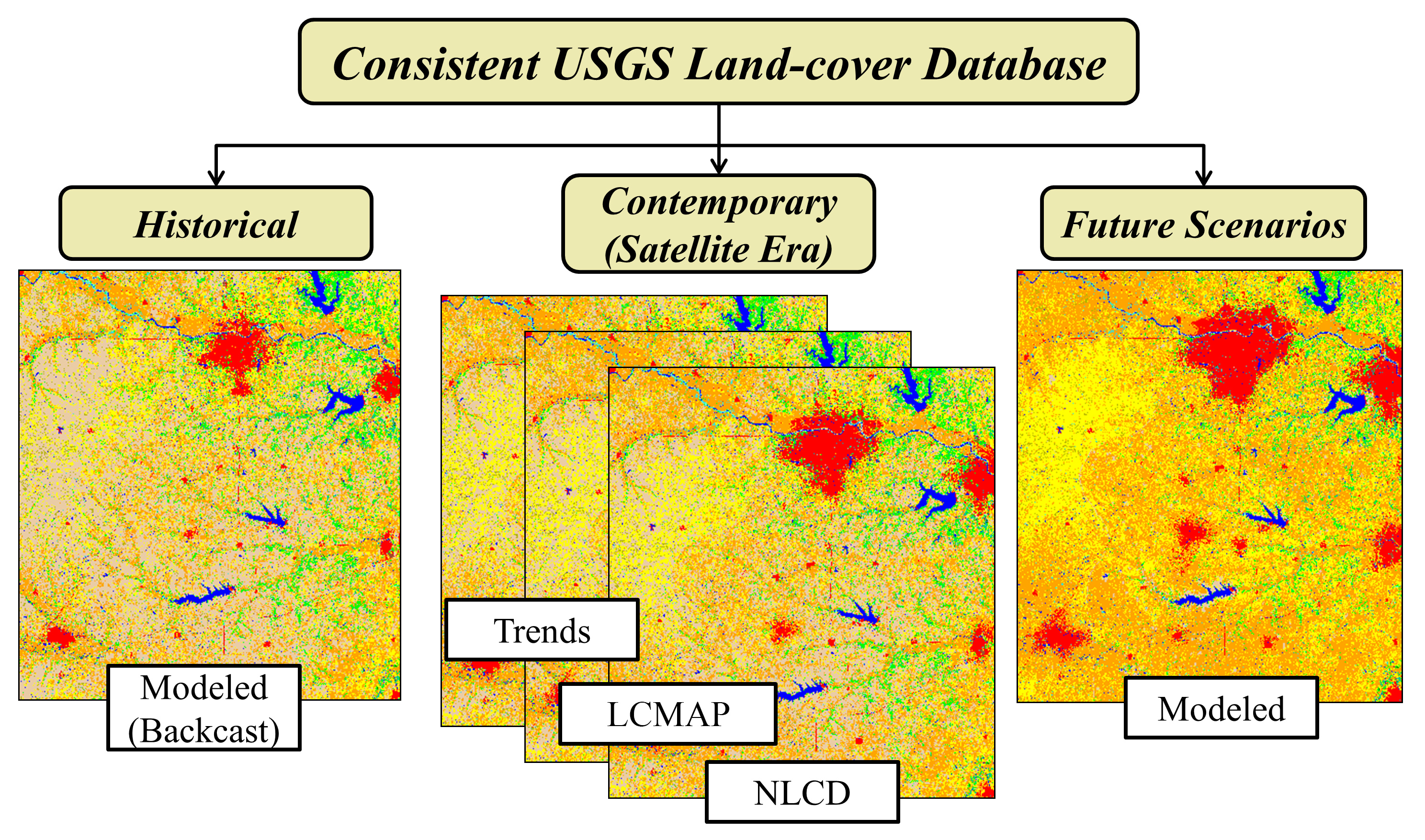
Land Cover consistency graphic
By Earth Resources Observation and Science (EROS) Center
2019 (approx.)

Detailed Description
Graphic highlighting consistency of USGS Land Cover data used to create land cover projections for USGS LCMAP.
Sources/Usage
Public Domain.