
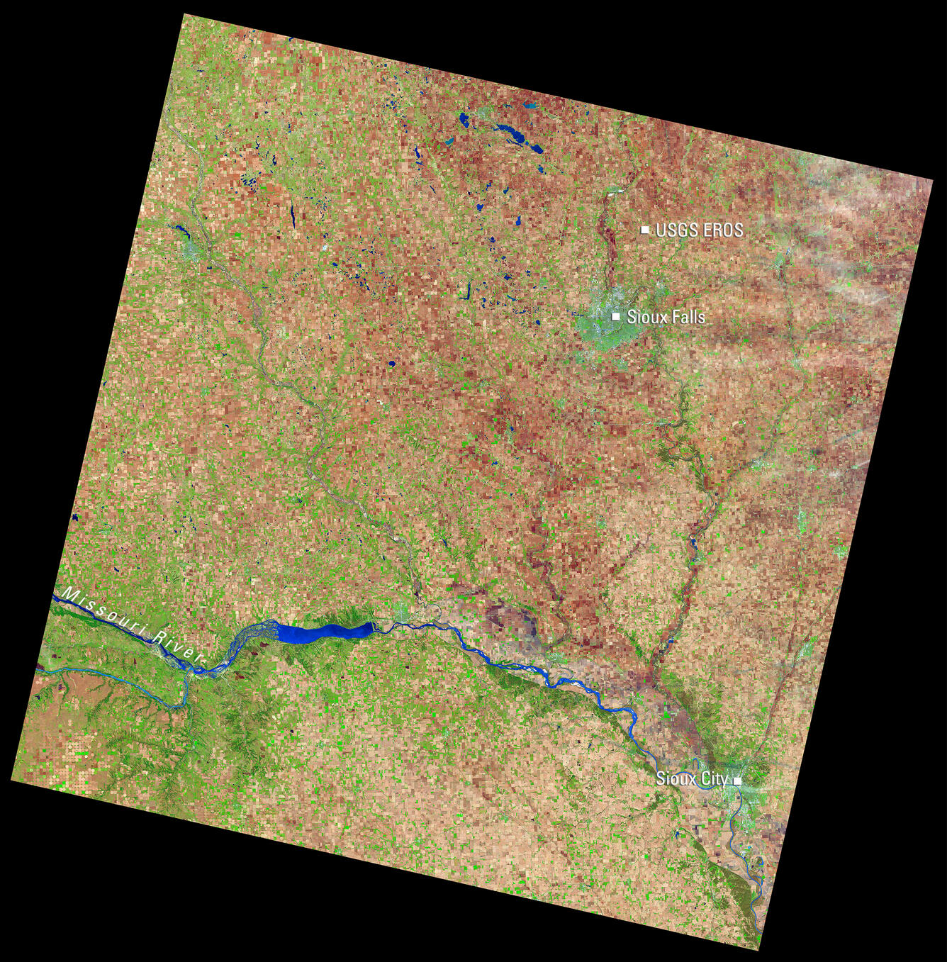
Landsat View of Sioux Falls, USGS EROS, and the Missouri River
Detailed Description
This Landsat 9 image of eastern South Dakota, acquired April 16, 2025, uses the shortwave infrared, near infrared, and red spectral bands (bands 6,5,4) to highlight land cover. In this combination, healthy vegetation appears bright green, while bare agricultural fields show in shades of brown and tan, and water appears blue. The scene includes Sioux Falls, the nearby USGS Earth Resources Observation and Science (EROS) Center, Sioux City, and a stretch of the Missouri River.
Scene ID: LC09_L1TP_029030_20250416_20250418_02_T1
Learn more about Landsat at the USGS Landsat Missions website.
Sources/Usage
Public Domain.