



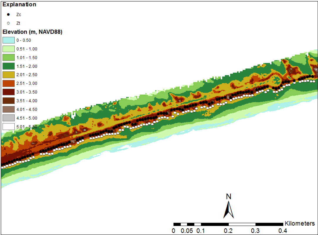
Lidar derived elevations from Santa Rosa Island, Florida


Detailed Description
Image 2: Lidar-derived elevations from Santa Rosa Island, Florida, collected September 8, 2008, after Hurricane Gustav. White dots indicate the extracted position of the dune base, while black dots indicate the extracted position of the dune crest. Beach slope and shoreline can also be determined from this data. (From Stockdon et al., 2012, National assessment of hurricane-induced coastal erosion hazards—Gulf of Mexico: U.S. Geological Survey Open-File Report 2012–1084: https://pubs.usgs.gov/of/2012/1084/).
Sources/Usage
Public Domain.