
Lidar map showing land change
By Communications and Publishing
2021 (approx.)
Detailed Description
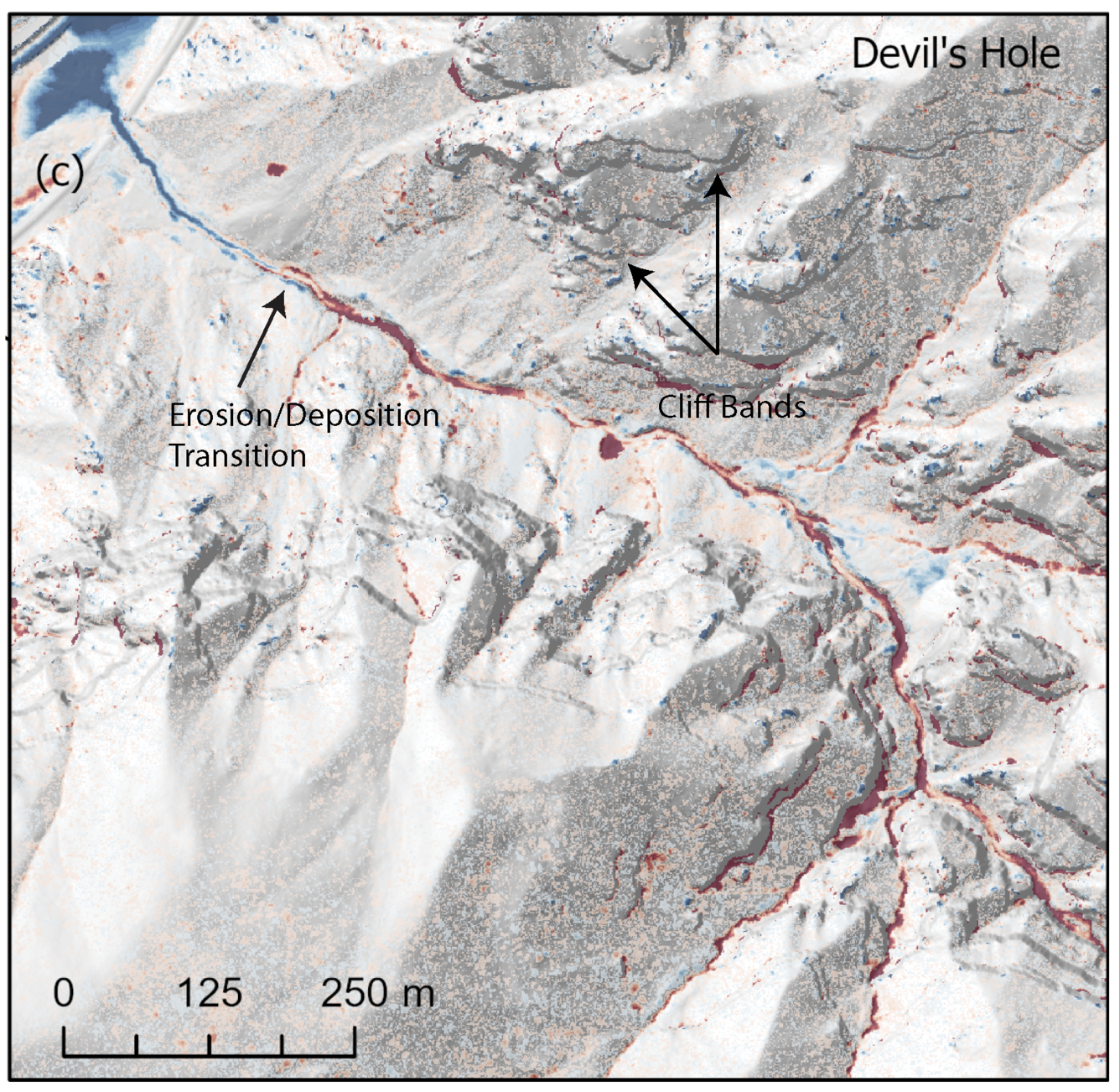
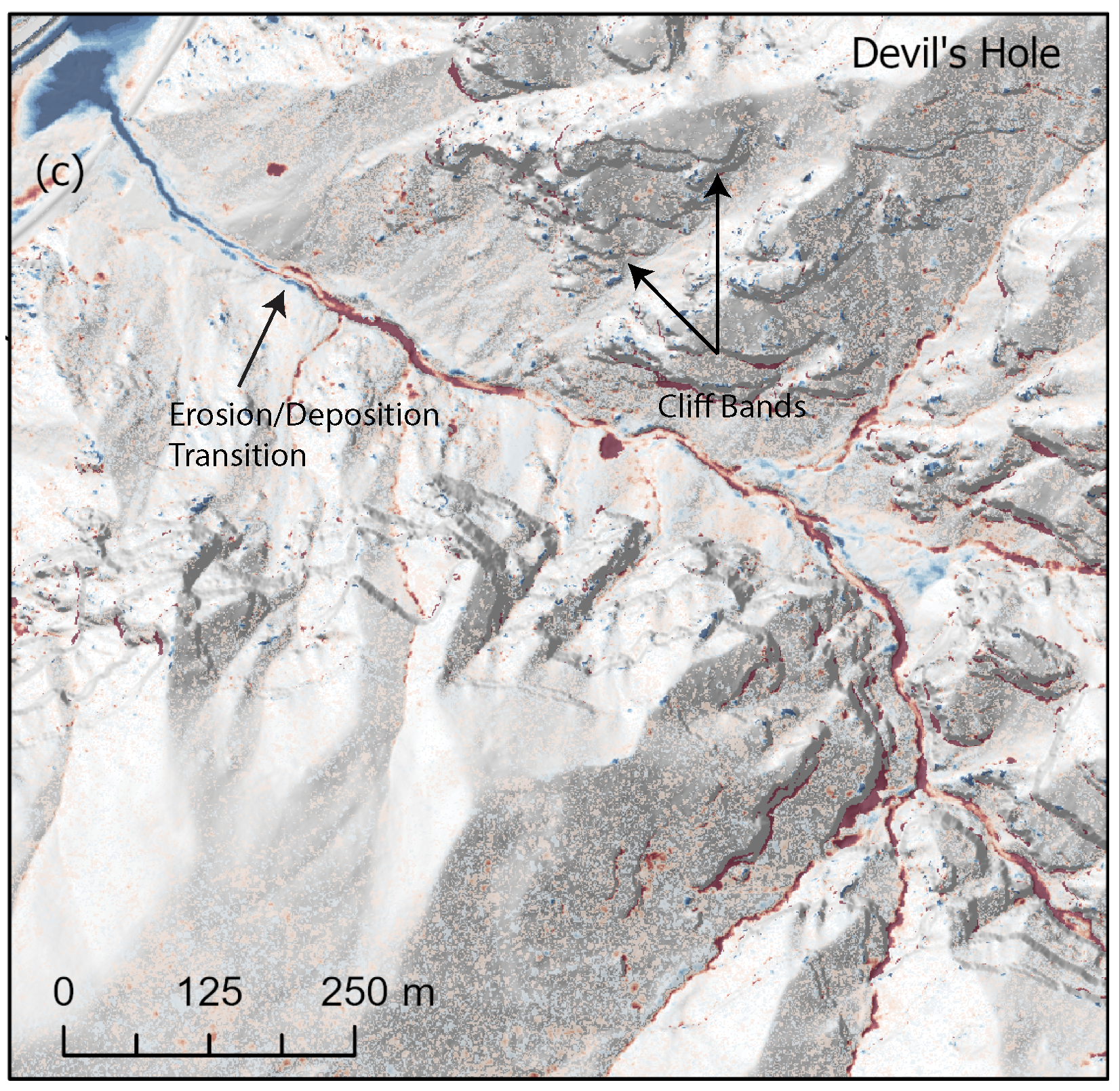
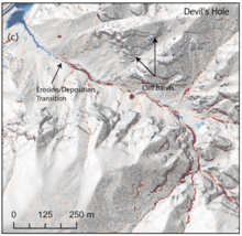
The red area on this Lidar map shows erosion in a channel upstream following 2021 debris flows in Glenwood Springs, Colorado. The blue shows deposition of the debris flows on a fan in the Colorado River.
Sources/Usage
Public Domain.