Map Maker - Hydrologic Units
Detailed Description
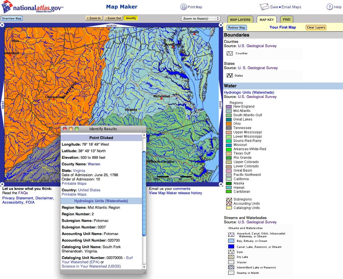
The National Atlas offered the Federal government's first on-line interactive Map Maker in 1997. A regional map of watersheds in the mid-Atlantic region is shown.
Sources/Usage
Public Domain.

Official websites use .gov
A .gov website belongs to an official government organization in the United States.
Secure .gov websites use HTTPS
A lock () or https:// means you’ve safely connected to the .gov website. Share sensitive information only on official, secure websites.
The National Atlas offered the Federal government's first on-line interactive Map Maker in 1997. A regional map of watersheds in the mid-Atlantic region is shown.
Public Domain.