
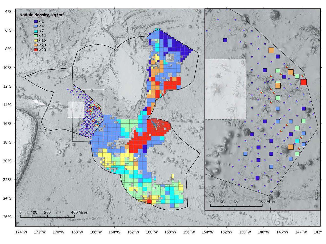
Map of nodule abundances measured in box cores in the Samoa Basin
Detailed Description
Map of nodule abundances measured in box cores in the Samoa Basin collected in this expedition displayed next to modeled abundances from the Cook Islands Seabed Mineral Authority. The U.S. Exclusive Economic Zone around American Samoa (western polygon) and the Cook Islands Exclusive Economic Zones (eastern polygon) abut, and are both outlined in black. From the USGS preprint Samoa Basin Abyssal Mapping: Box Coring Leg.
Sources/Usage
Public Domain.