
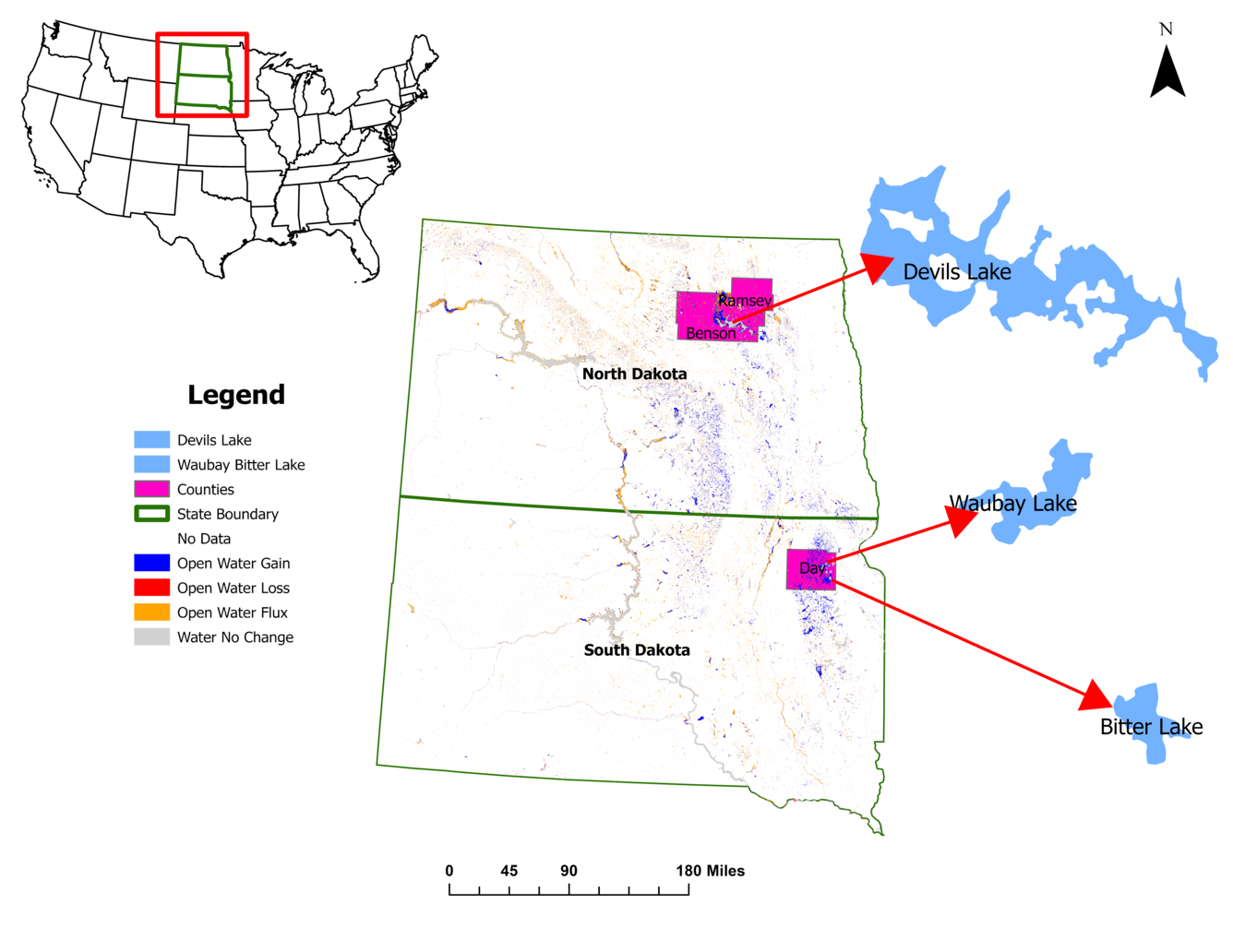
Map of open water in ND and SD and changes from 1985 to 2023
Detailed Description
A map showing open water in North Dakota and South Dakota, in the Prairie Pothole Region. The colors indicate whether the open water areas have gained or lost water, fluctuated between gains and losses or remained stable from 1985 to 2023. Areas of special interest are Devils Lake in North Dakota and Waubay Lake and Bitter Lake in South Dakota.
Sources/Usage
Public Domain.